Guides, blog posts, webinars and docs
Everything you need to get the most out of Flai — from deep dives and case studies to hands-on tutorials.
From the Flai blog
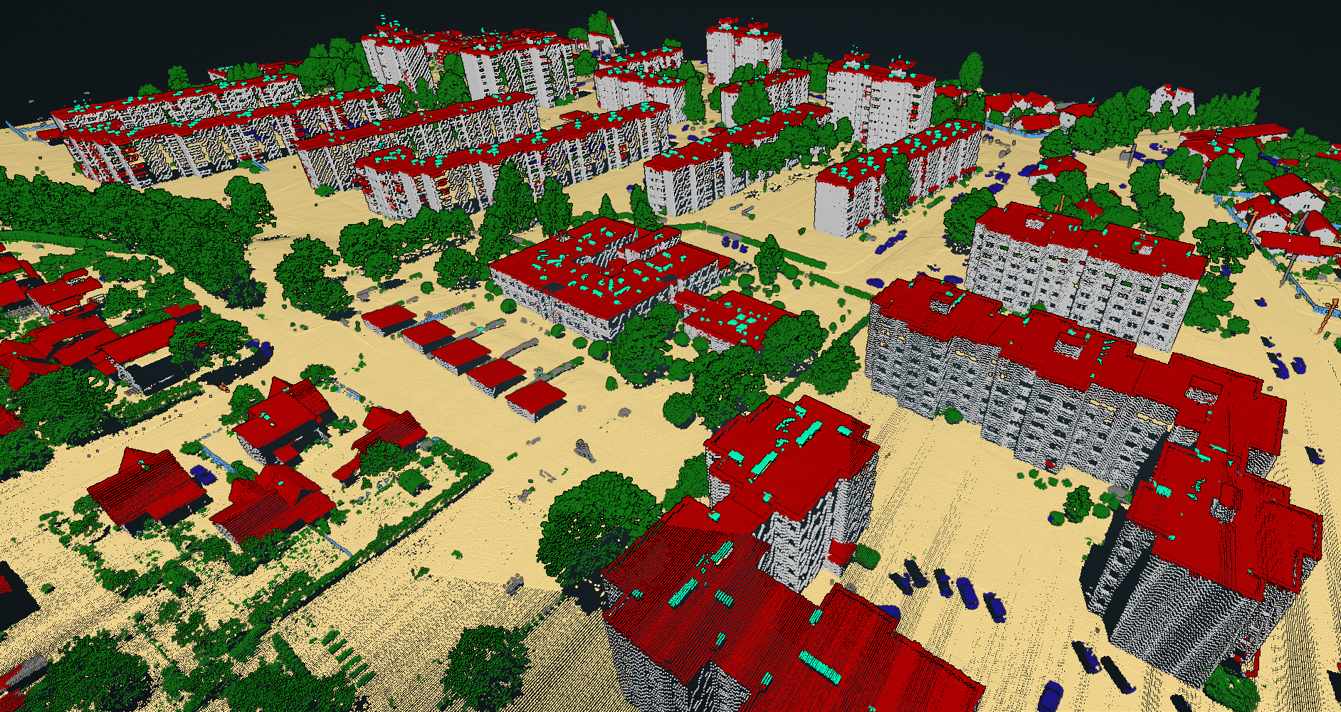
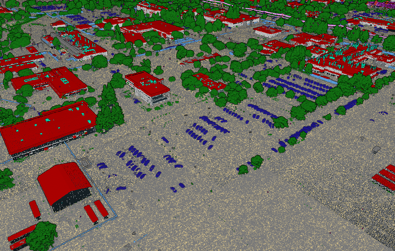
Evaluation of FLAI AI Classification on LiDAR Data Collected with the AISPECO Heliux LITE System and RIEGL VQ-580 II-S
AISPECO and FLAI benchmarked AI point-cloud classification on airborne LiDAR captured with the HELIUX LITE platform and a RIEGL VQ-580 II-S. Four scenes—rural, dense urban, industrial, and powerline corridors—were flown at 540 m and 810 m AGL.
How to Keep Original (Ground) Labels Unchanged When Using Flai Classification
When you already have valuable labels in your point cloud data, you should not have to lose them when you run a new classification. This guide shows how to create a processing flow that keeps one or more input classes while applying Flai classification to everything else.
Pushing the Boundaries of Situational Awareness at REPMUS 2025: Our AI-Driven REA Journey
This September, we were proud to participate in REPMUS 2025 — Robotic Experimentation & Prototyping using Maritime Unmanned Systems — as part of the Rapid Environmental Assessment (REA) Working Group.
Flai Documentation
Dive into the details — installation, flows, APIs, and everything you need to build with Flai.
Go to Flai Docs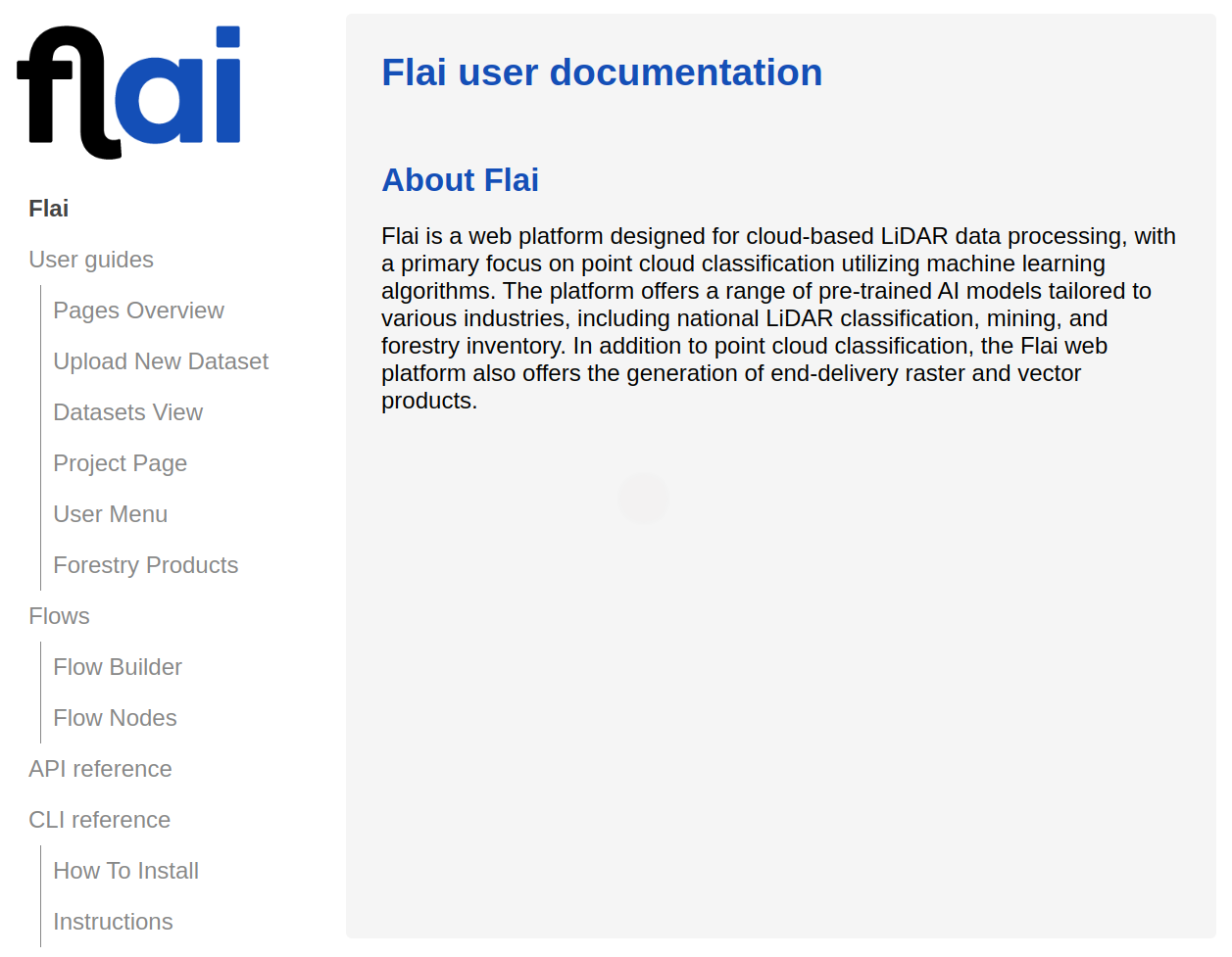

Watch webinars
On-demand webinars exploring automated LiDAR classification, real customer stories and product deep-dives.
Watch webinarsVideo Tutorials
Short how-to videos to help you get productive in Flai quickly.
Go to video tutorials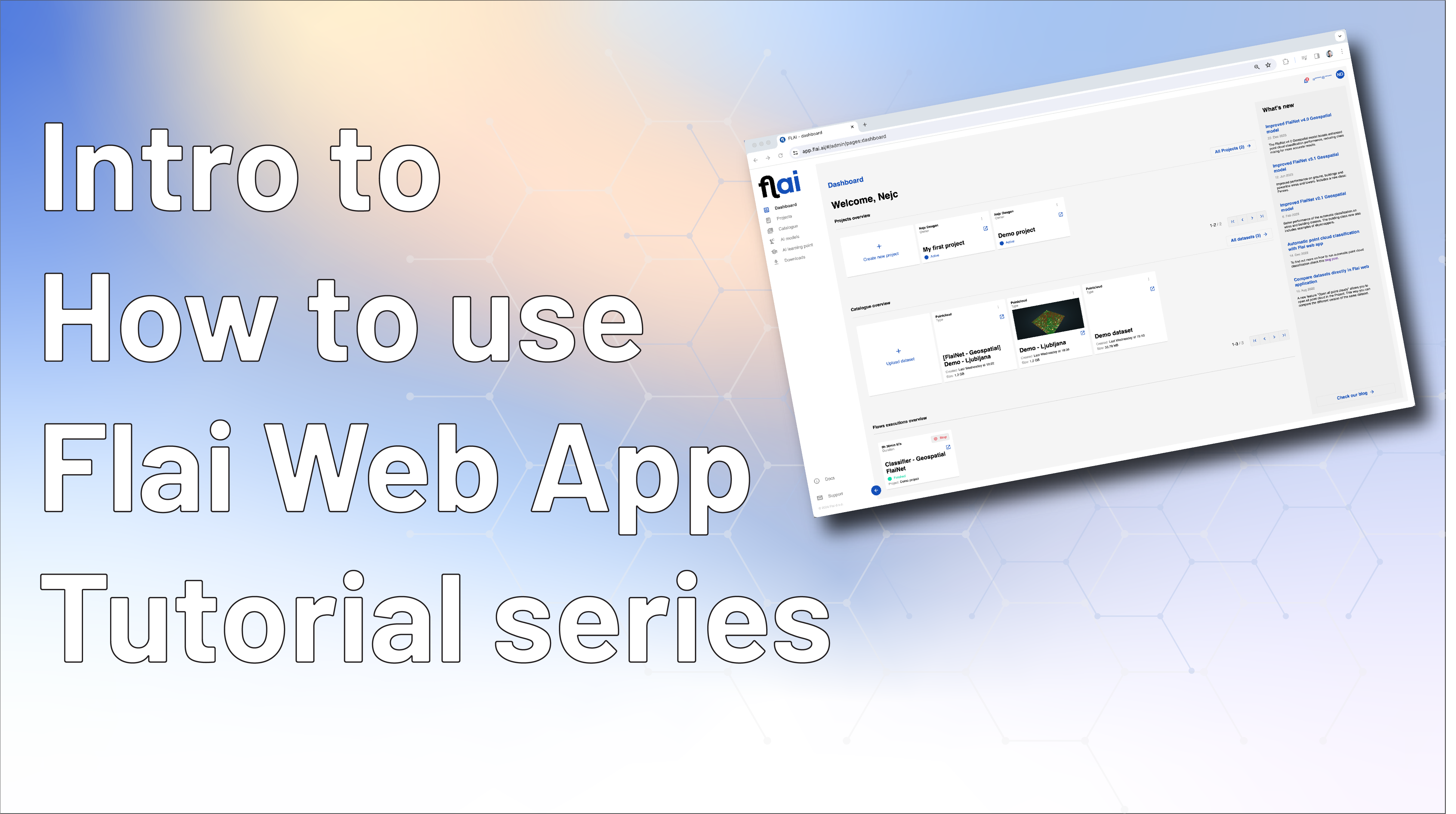
AI-powered classification templates
A library of automated, AI-powered templates for classifying point clouds with a single click.