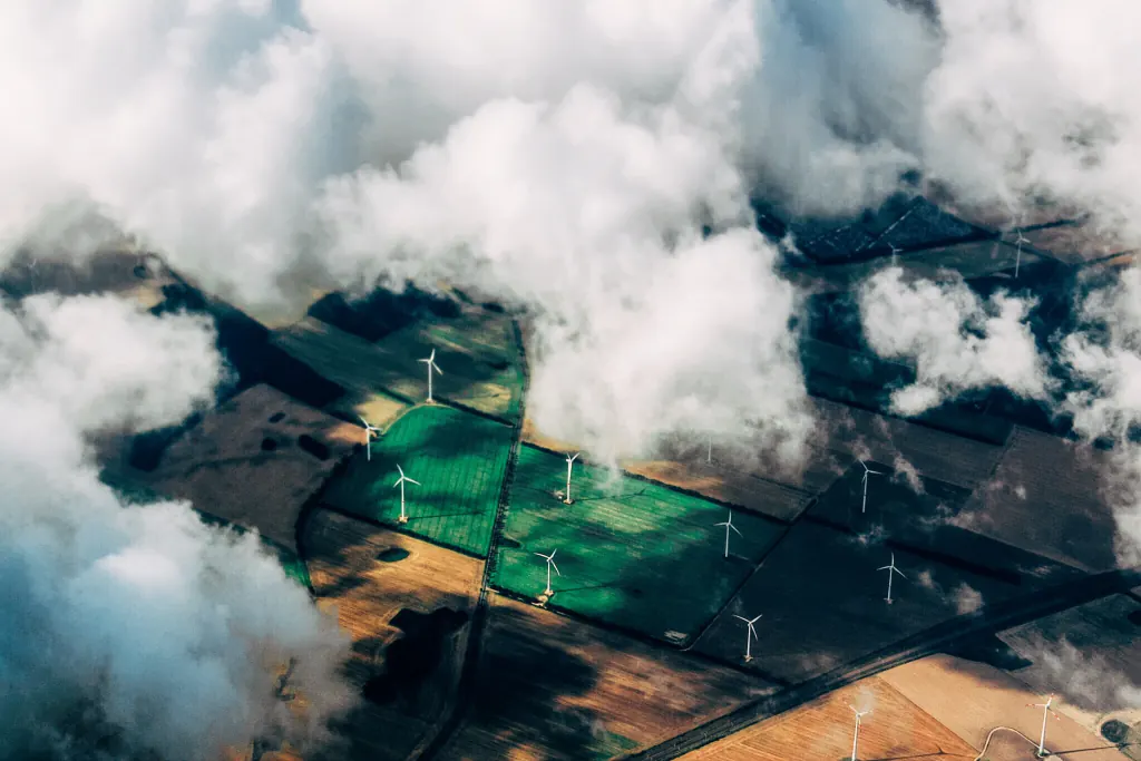
Automatically process vast amounts of LiDAR data no matter your industry
Flai solutions are applicable to various geospatial industries and help modernize your business, save time, lower costs, and provide viable information to your customers.
Industry-ready AI for LiDAR
Purpose-built models and workflows for the industries that rely on point clouds every day.
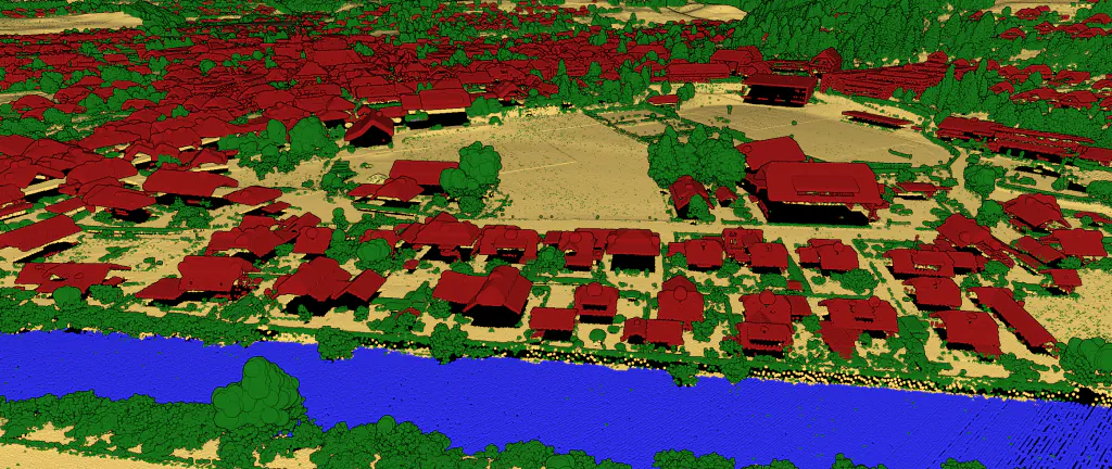
Topographic Mapping
Aerial Mapping AI model for automatic classification of LiDAR point clouds.
Learn more about Topographic Mapping →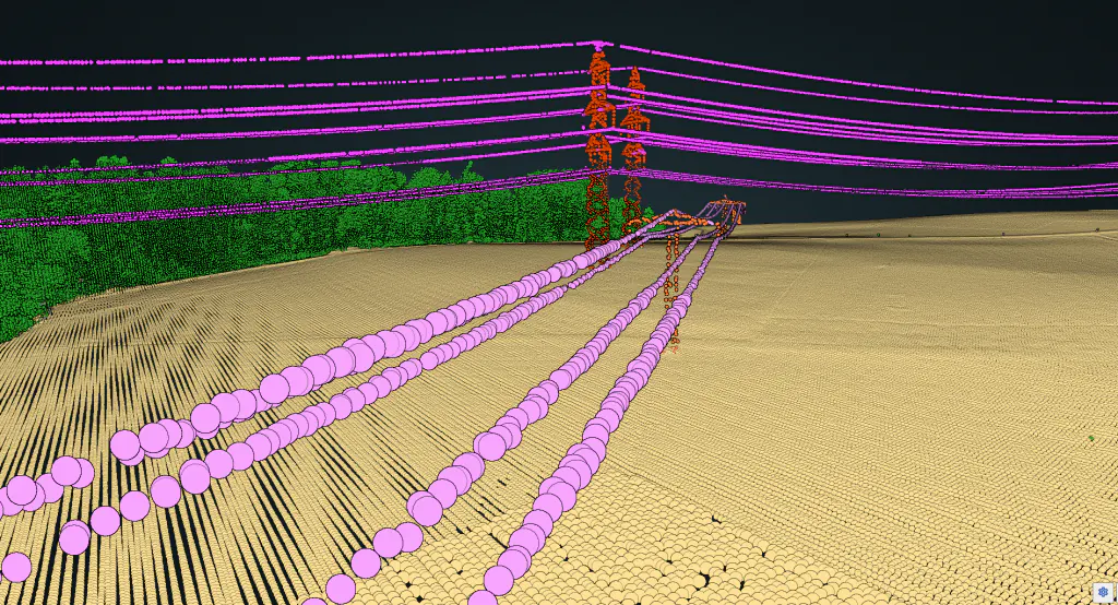
Utilities and Powerlines
Automatic AI classification of Powerline wires, Powerline tower/poles, insulators, guy wires and more.
Learn more about Utilities and Powerlines →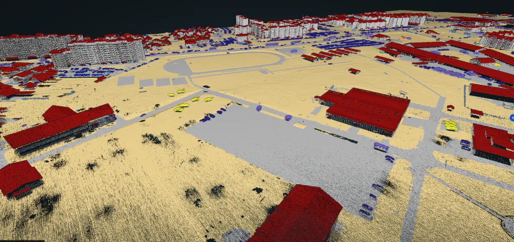
Defence and Security
Flai delivers situational awareness for defence and security by transforming LiDAR data into precise geospatial intelligence.
Learn more about Defence and Security →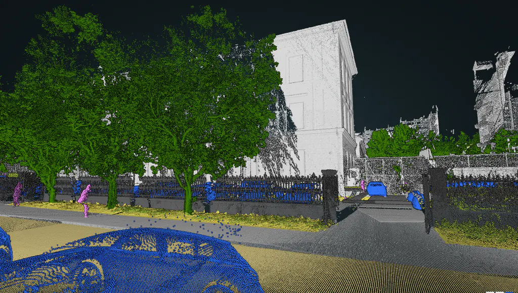
Mobile Mapping
Mobile Mapping AI Model for classification of Mobile Mapping pointclouds.
Learn more about Mobile Mapping →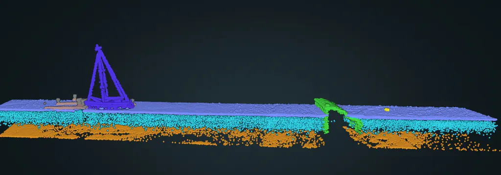
Bathymetric Mapping
Through-water mapping from green bathymetric LiDAR: seabed, water column and maritime infrastructure, classified automatically.
Learn more about Bathymetric Mapping →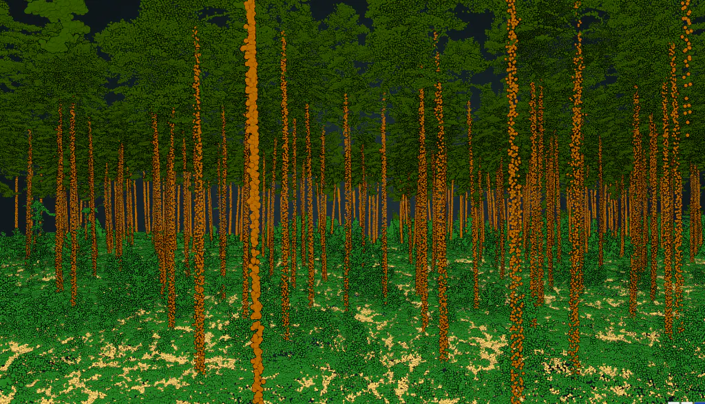
Forestry
Efficiently conduct forestry inventory using LiDAR data for accurate results.
Learn more about Forestry →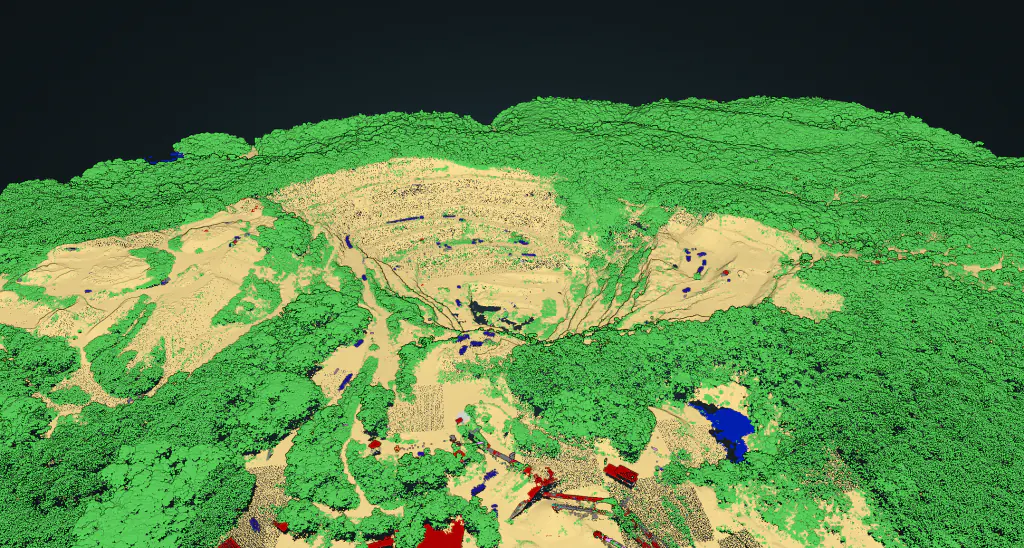
Mining
Flai provides a variety of mining services through advanced LiDAR data processing.
Learn more about Mining →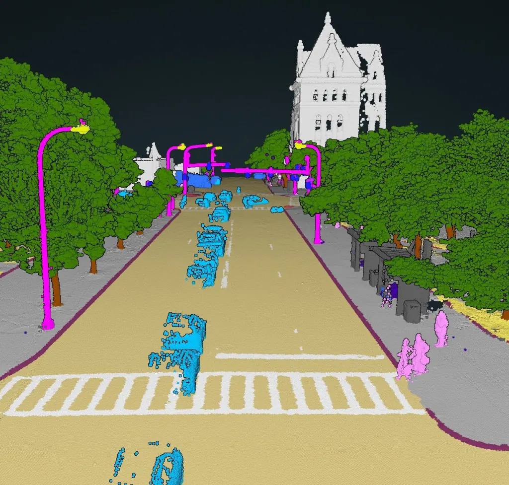
Robotics and Navigation
Semantic 3D perception for robots and autonomous platforms: classify LiDAR into typed objects, on-device.
Learn more about Robotics and Navigation →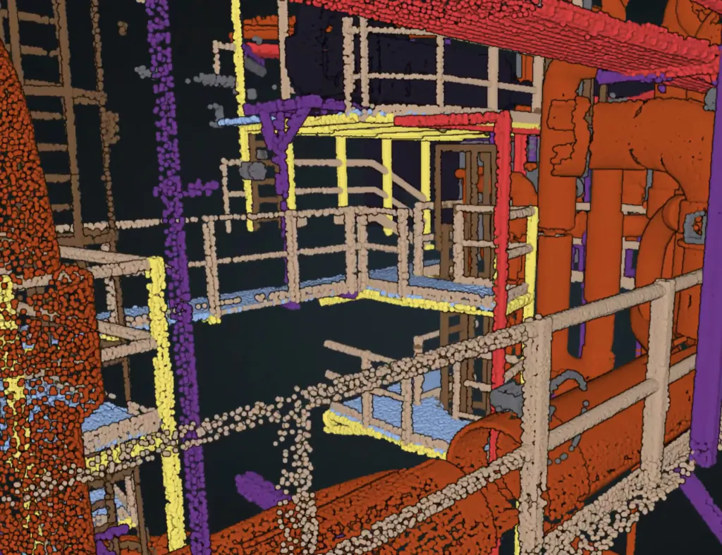
BIM and Indoor Mapping
Turn dense indoor and terrestrial scans into scan-to-BIM-ready objects: walls, floors, MEP and furniture, classified automatically.
Learn more about BIM and Indoor Mapping →Get started today
Flai provides flexible deployment solutions, allowing you to use all of our products as Software as a Service through the Flai web platform, or opt for a Self-Hosted solution.