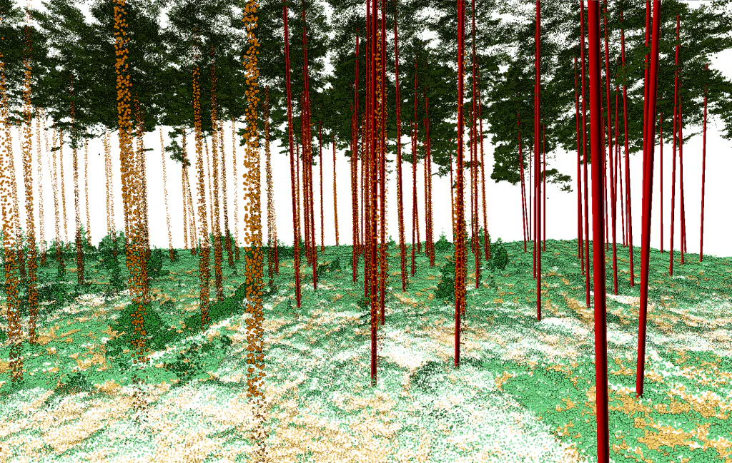
From raw LiDAR to forest inventory
From raw point cloud data, Flai automatically generates vector deliverables suitable for forest inventory and biomass calculation. The initial step involves classification using Flai's Forestry AI model. Following classification, the following vectors with attributes can be extracted.
Tree canopies
Attributes: area
Tree tops
Attributes: height
Tree trunk points
Attributes: DBH, length
Tree trunk linear vectors
Attributes: length, height
These vectors are subsequently employed to generate Biomass estimations and Forestry reports based on individual tree inventory.
Every tree, measured
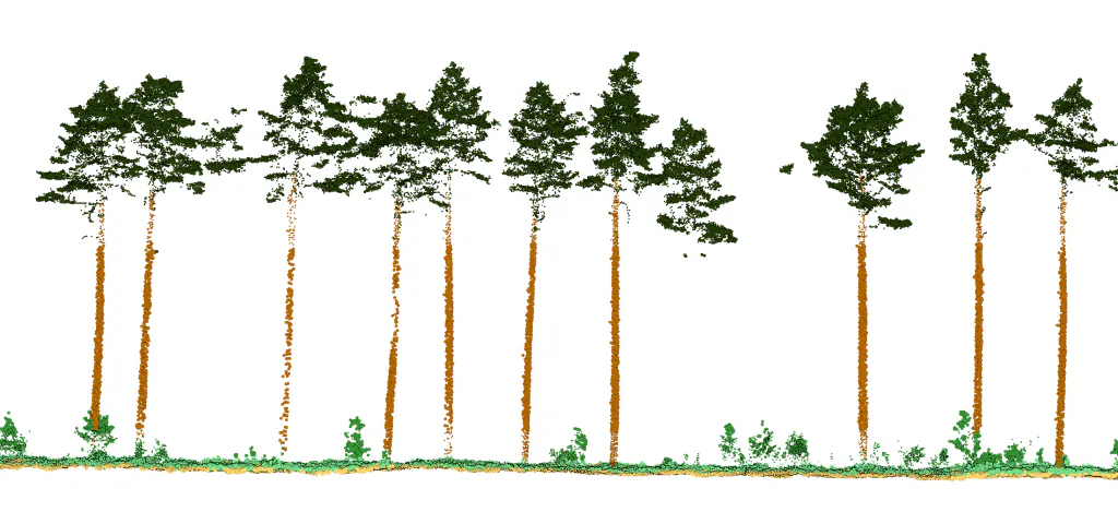
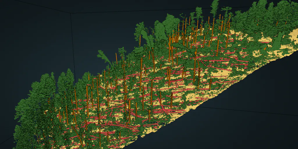
Point cloud classification
Output categories relevant for forestry inventory include: Tree trunks, Fallen trees, and Vegetation.
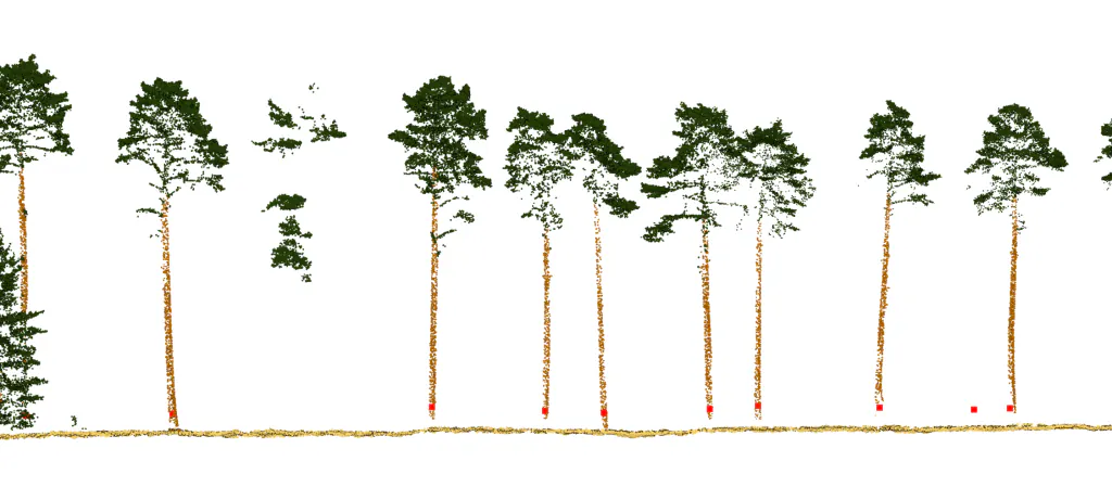
Tree trunk centroids
Points represent the centroid of the tree at a height of 1.3 m, containing information about its diameter at breast height (DBH).
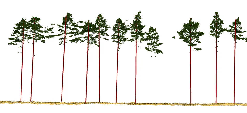
Tree trunk vectors
Linear vectors represent the tree trunk, containing information about its length, height, straightness, and more.
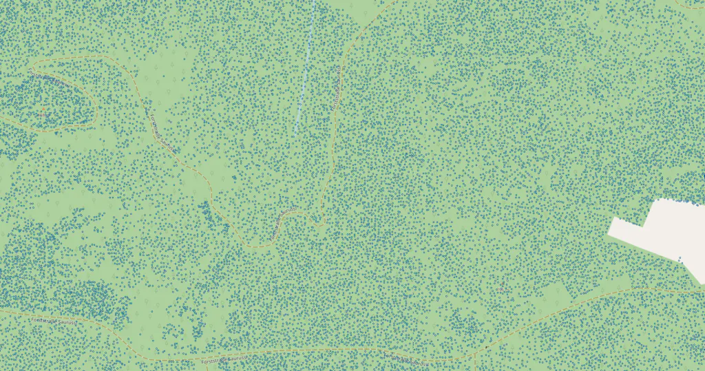
Tree tops
Points representing the tree tops.
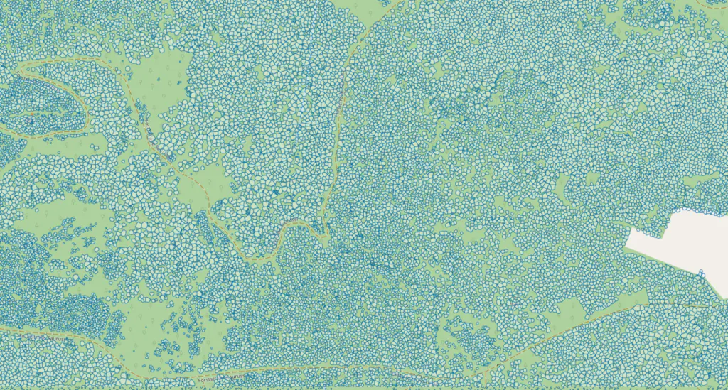
Tree Canopies
Detected tree canopies include information about the area and height of the canopy.
Build your single-tree inventory
Upload forestry LiDAR to the Flai platform and get vector deliverables in hours, not weeks.