Import airborne LiDAR
LAS, LAZ, COPC, E57, PLY from any airborne or UAV sensor. No per-project setup.
The Aerial Mapping AI model classifies a full airborne-LiDAR capture automatically: noise, ground, above-ground features and the power network, then out to DTM / DSM, hillshades and contours. Less manual labelling, faster turnaround, proven at national scale.
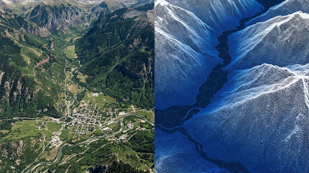
One automated run takes a raw capture to a finished deliverable. You step in only for the final review, not to classify every tile by hand.
LAS, LAZ, COPC, E57, PLY from any airborne or UAV sensor. No per-project setup.
Atmospheric returns, birds, multipath and scan-edge artefacts removed before anything else runs.
Align overlapping strips and clean flight-line seams for a consistent, gap-free surface.
Ground and water through buildings, vegetation, infrastructure and the power network, in one run.
Review and correct with annotation tools and keyboard shortcuts. Touch-ups, not labelling from scratch.
Classified point cloud plus DTM / DSM, hillshades, contours and rasters, ready to ship.
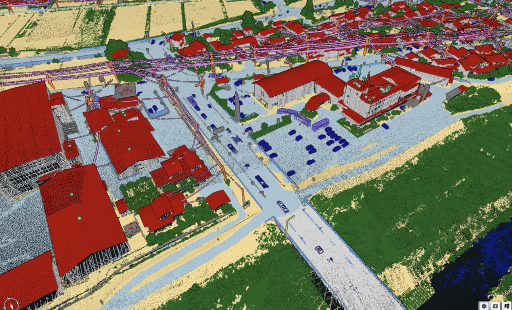
Pre-trained AI classifies ground, water, buildings, vegetation, infrastructure and the power-line network straight from raw LAS / LAZ.
The model does the heavy lifting. Your team reviews and corrects instead of classifying every tile from scratch.
50-99% less editing time. Batch hundreds of tiles unattended, with no bespoke pipeline to build or maintain.
Sensor- and platform-agnostic: airborne and UAV LiDAR from all major sensors, ingested in the formats you already fly.
Extend the model with your own classes and terrain types (AI Learning Point), on Flai cloud or fully on-prem.
Consistent, repeatable, auditable results across operators, regions and epochs, with per-class QC metrics and reporting.
Annotation tools, measurements and keyboard shortcuts to speed up the final review, all in one workspace.
LAS / LAZ / COPC out, plus DTM / DSM, hillshades, contours and rasters, a REST API and a QGIS plugin for direct GIS integration.
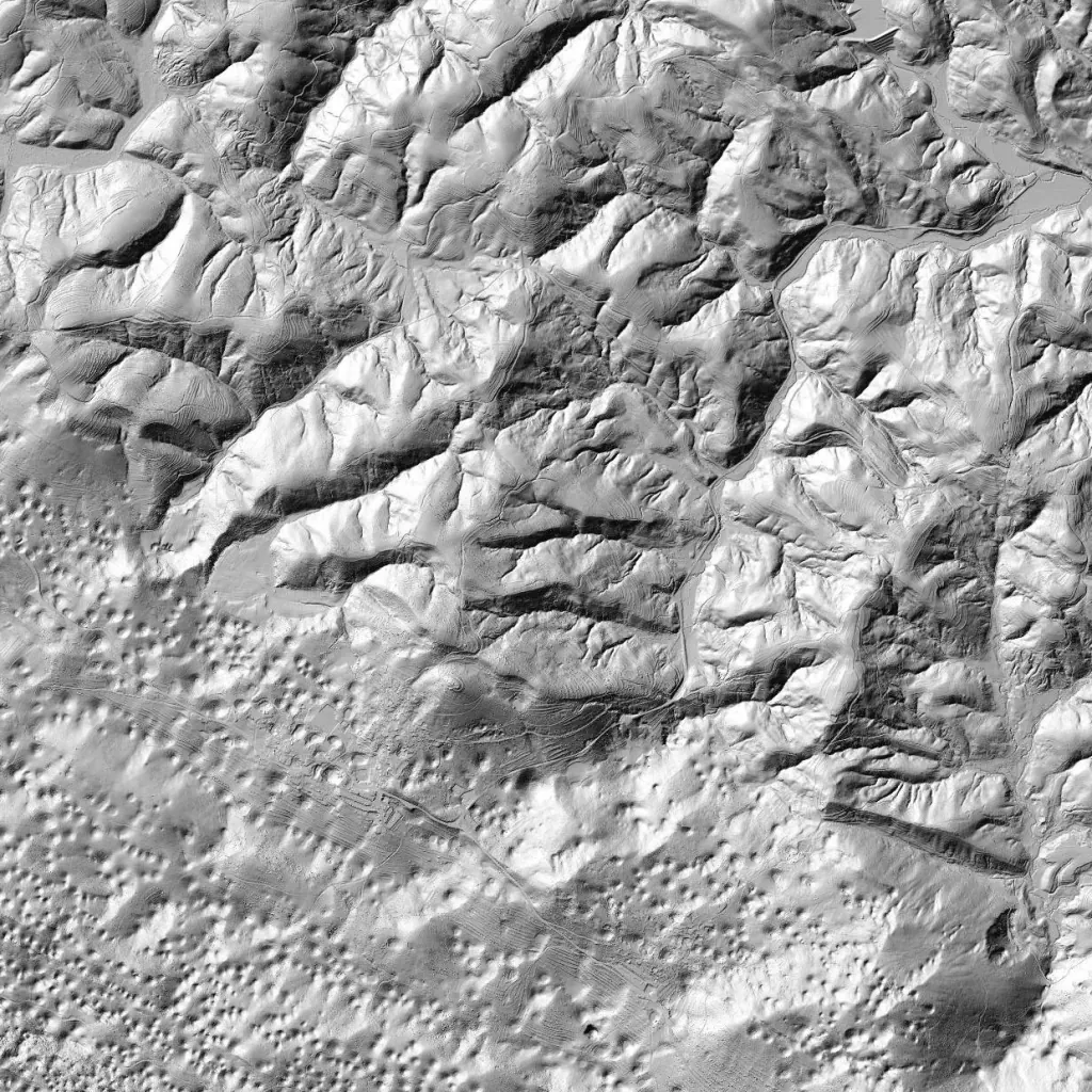
The classified point cloud is the starting point. From it, Flai generates the surface models and map products your clients actually ask for.
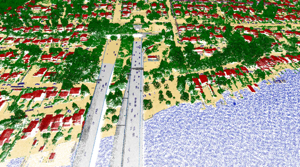
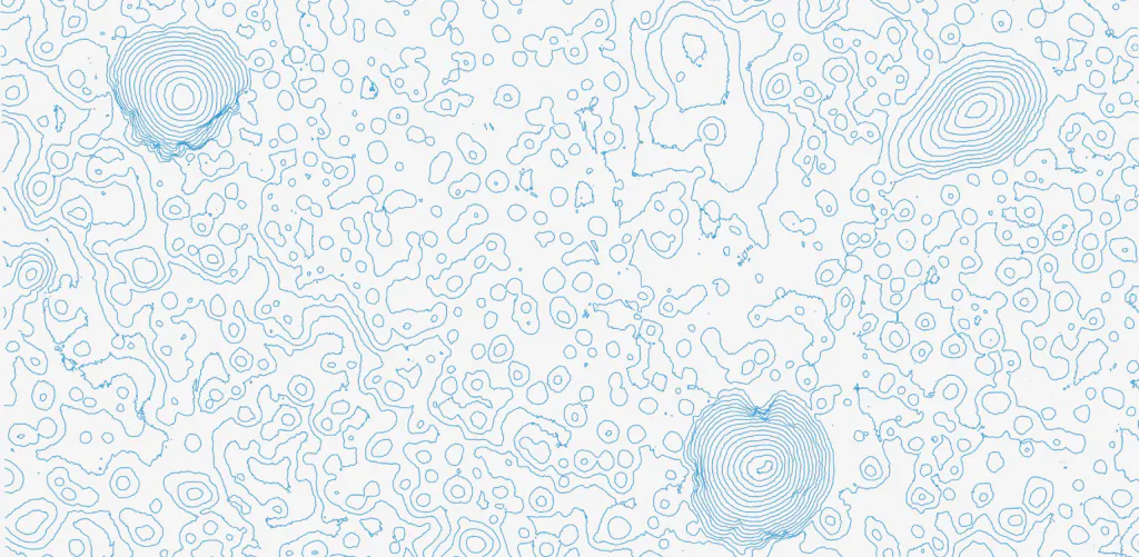
Need a class the pre-trained model does not ship with? Extend it with your own. Provide examples through the AI Learning Point and Flai retrains the model on your data and terrain, on Flai cloud or fully on-prem, so no data leaves your network.
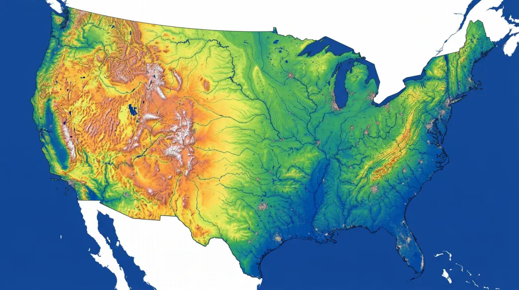
Around 150 national mapping and cadastre agencies run country-wide LiDAR campaigns. The bottleneck is no longer collection, it is classification. Deploy FlaiCortex on your own infrastructure and process petabytes consistently, reducing the risk of an ageing workforce and an ever-growing backlog.
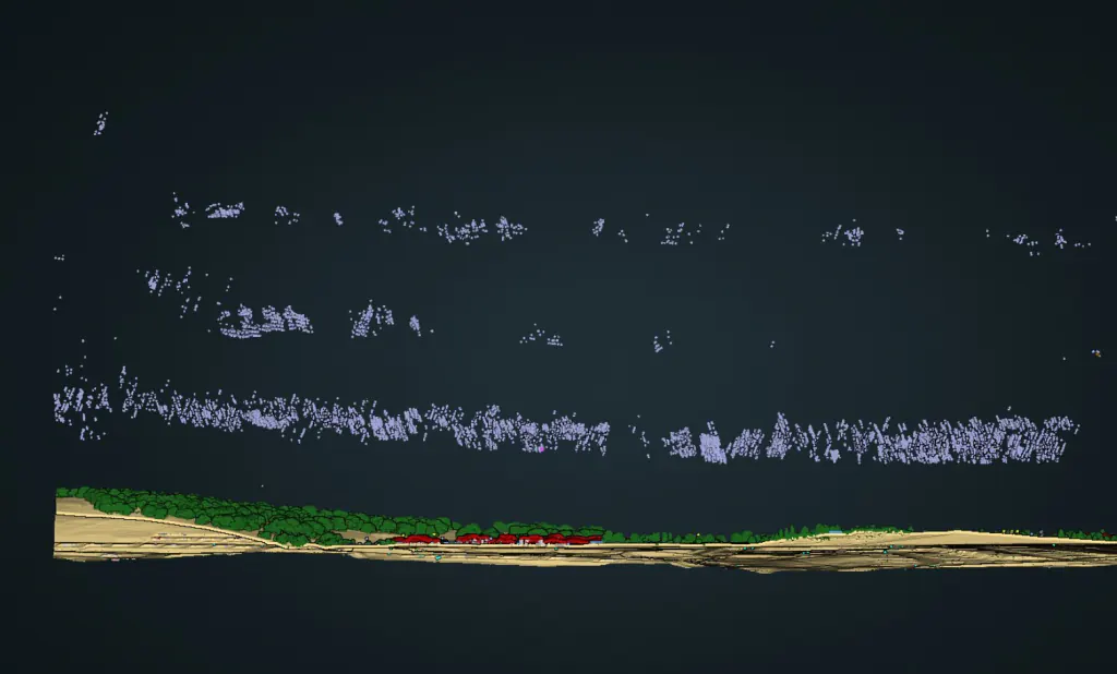
Every point is assigned a typed class, then vectorised into the objects your workflow consumes. Highlighted classes are the ones downstream extraction depends on most.
Colours match the Flai aerial mapping classifier. Extend the schema with custom classes via retraining.
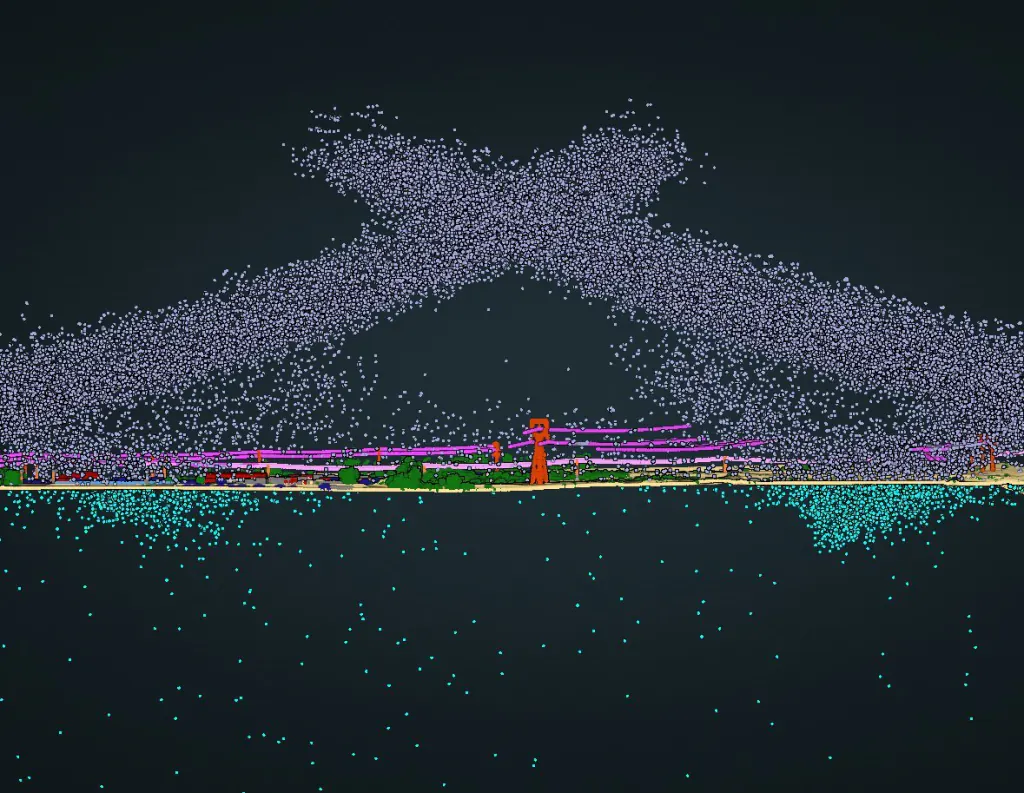
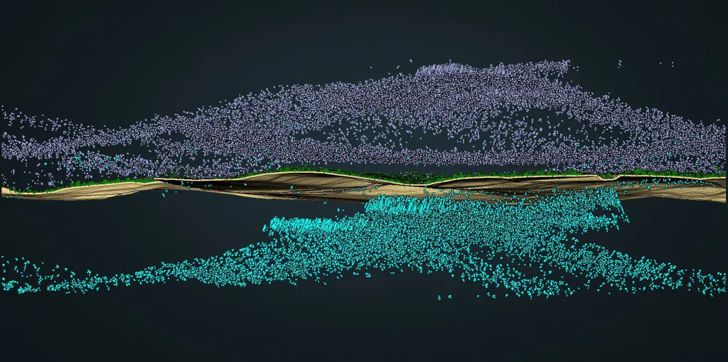
Before aerial classification, Flai isolates low and high noise in a single automated pass, consistently across sensors, so ground and surface models fit cleanly at national scale.

"With the use of Flai's state-of-the-art AI for automatic classification of LiDAR point clouds we have reduced the cost and complexity of data processing."

AWS EU-Central (Frankfurt) by default. Production-grade, monitored, onboarding in days.
Dedicated deployment in your own GCP, AWS or Azure. Full data sovereignty.
The Flai CLI runs entirely behind your firewall, with only metadata for licence validation.
From raw capture to finished deliverables, at national scale. Cut manual work and deliver consistent, accurate results.