What you get
Rasters from classified point clouds
From accurate classified point cloud, Flai offers creation of different rasters.
- Digital elevation model (DEM)
- Digital surface model (DSM)
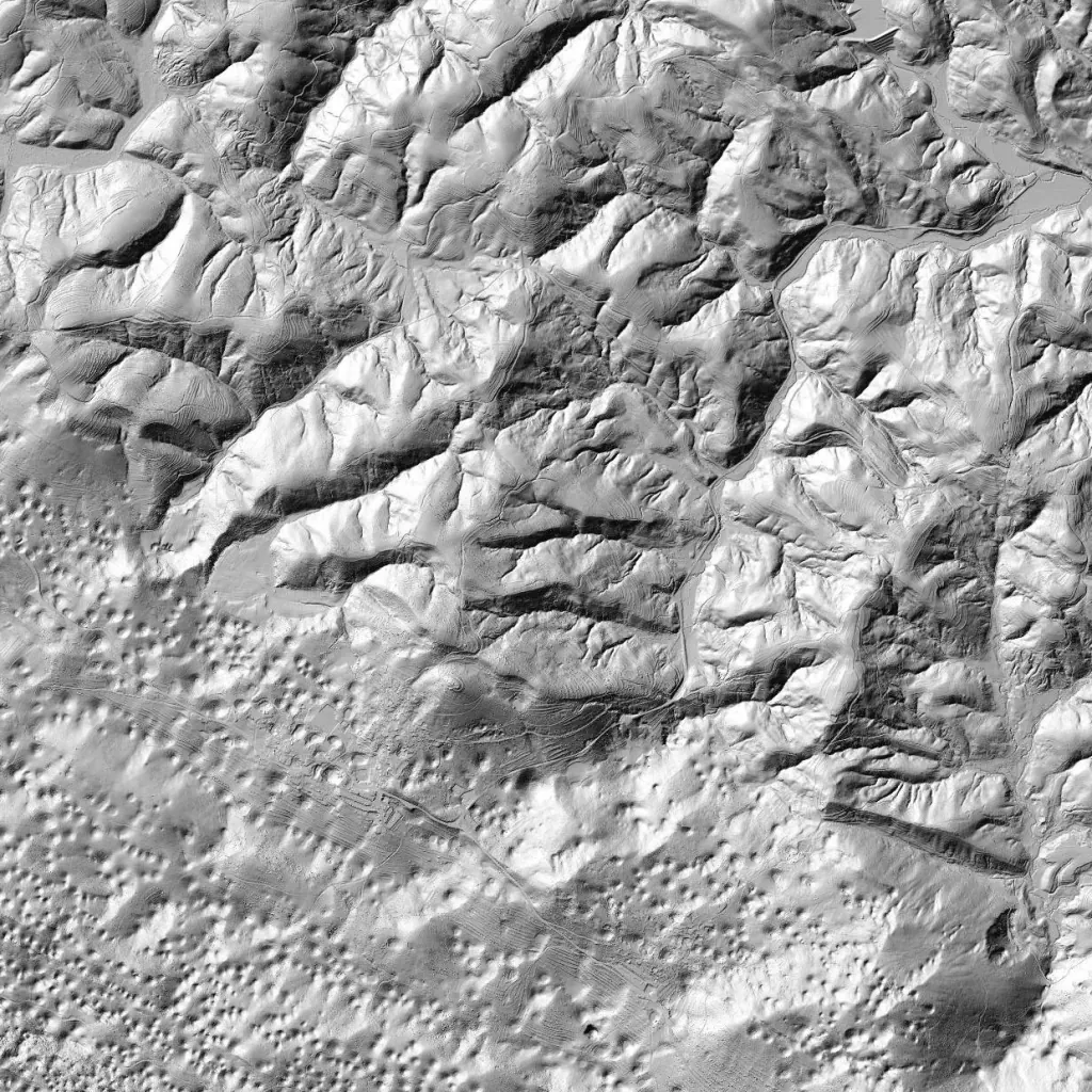
- Hillshade
- Raster masks
- Aspect
- Slope
Raster types
Every raster in one pipeline
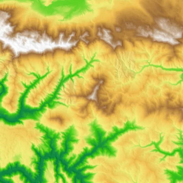
DEM
Digital elevation model.
Hillshade
Relief-shaded visualization of terrain.
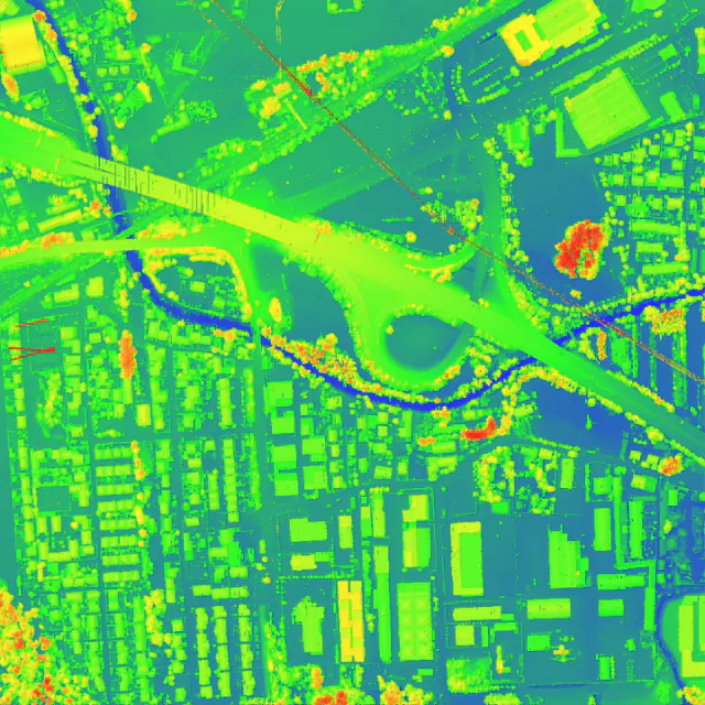
DSM
Digital Surface model with removed temporary objects.
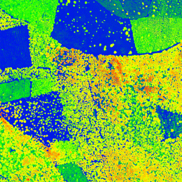
CHM
Canopy height model.
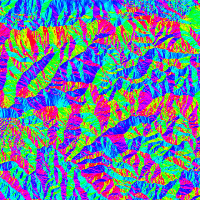
Aspect
Aspect raster layer contains values from 0 to 360 that express the slope direction: starting from North (0°) and continuing clockwise.
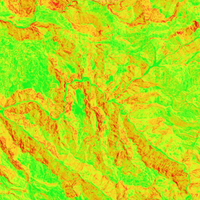
Slope
Slope is the measure of the steepness or incline of the land surface, expressed as a percentage or degree.
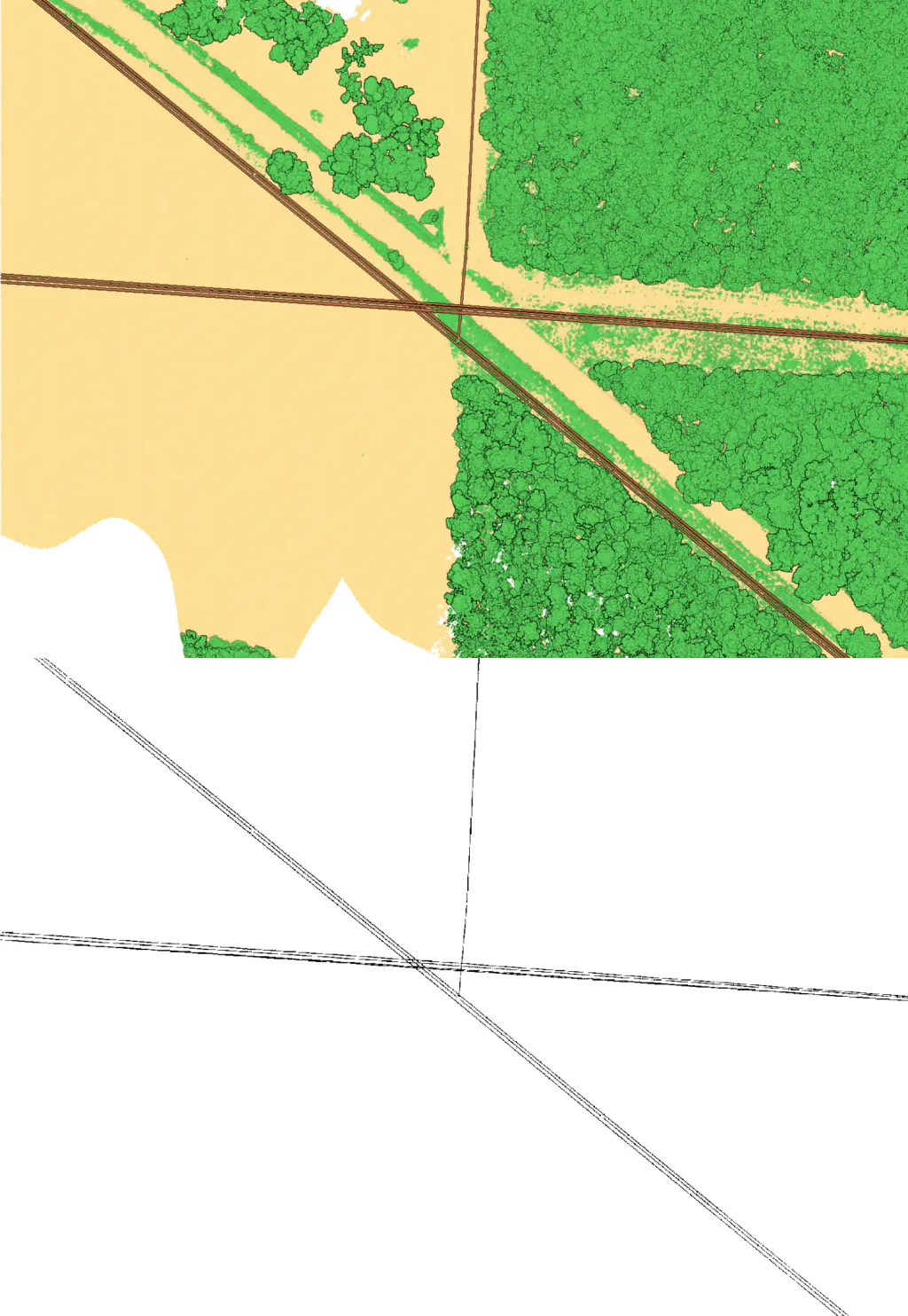
Raster masks
Rasterize one or more semantic class(es).
Generate rasters in the cloud
Upload a classified point cloud and export DEM, DSM, hillshade, slope, aspect, and more.