Mining
Flai provides a variety of mining services through advanced LiDAR data processing.
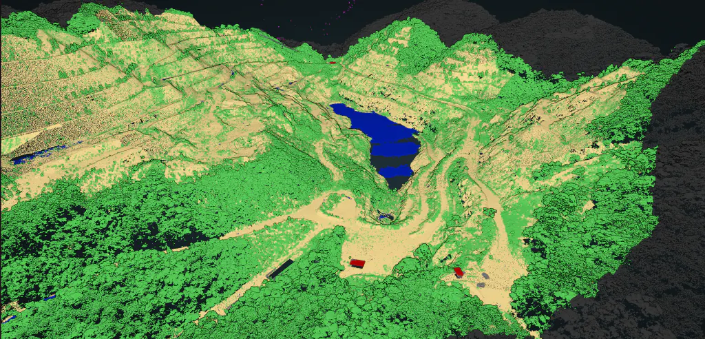
Accurate classification for mining operations
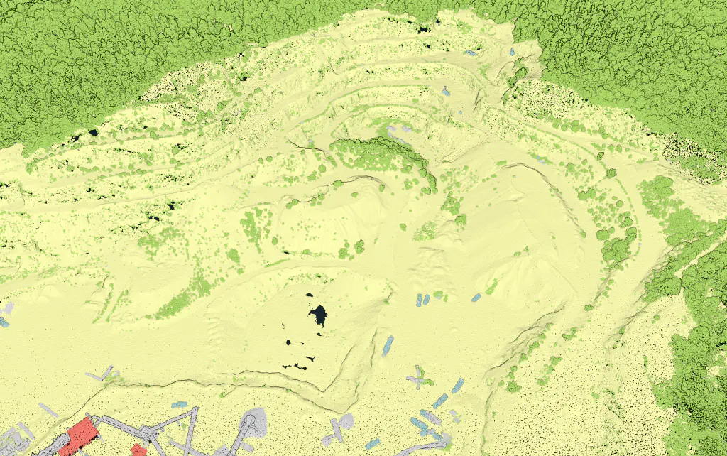
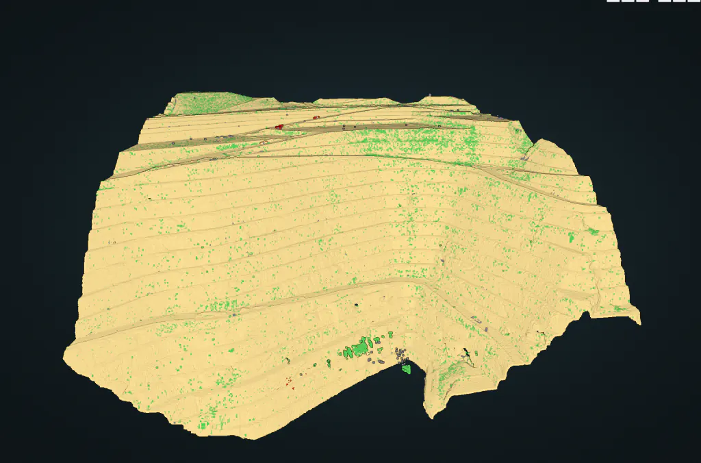
Flai offers an accurate classification of open mines. This involves processing LiDAR data to identify any changes in the terrain. The benefit of Flai classification lies in good ground detection even on vertical ground.
One of the services offered by Flai is a custom-trained AI model for indoor stockpile classification and monitoring. LiDAR data is classified into two classes of points: the stockpile itself and all other points. This is particularly useful for mining companies that need to keep track of the amount of material they have in stockpiles.
Another service offered by Flai is monitoring of mine tunnel subsidence in coal mines. LiDAR data processing can be used to create detailed 3D models of mine tunnels and monitor changes in their shape over time.

"Flai has enabled us to handle a larger volume of data without adding more personnel, while maintaining consistent quality in our processing of various types of LiDAR datasets."

Scale your mining data workflow
Handle more LiDAR data without adding more headcount.