Five AI models out of the box
Flai excels in point cloud classification with pre-trained AI models spanning 19 categories for general mapping, 6 for forestry, and 21 for mobile mapping. In-house retraining ensures adaptability, especially in identifying challenging non-ground classes, reducing manual cleanup efforts.
Aerial Mapping AI model
Forestry AI Model
Mobile Mapping AI Model
Indoor Stockpile AI Model
Thin Ground AI model
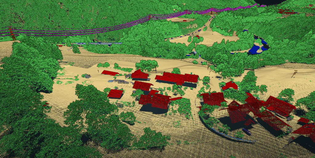
Classify wide-area aerial LiDAR
Depending on the selected Aerial Mapping AI model, the following categories are available.
- Other (man-made objects)
- Ground
- Vegetation
- Buildings
- Low isolated noise
- Water
- Wires (low / high voltage)
- Powerline towers (low / high voltage)
- Railroad wires and towers
- Bridges
- High isolated noise
- Roof objects (chimneys, antennas, solar panels)
- Vehicles
- Walls / Facades
- Low points
- Fences
Forestry classification
The following classes can be extracted using the Forestry AI model.
- Ground
- Vegetation
- Tree trunks
- Fallen trees
Street-level mobile mapping
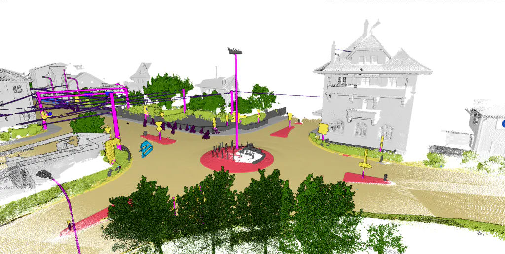
Mobile Mapping AI model outputs the following categories.
- Other
- Roads
- Sidewalks
- Other Ground
- Traffic Islands
- Buildings
- Trees
- Traffic lights and Traffic signs
- Masts
- Wires
- Pedestrian
- Mobile and Stationary Vehicles
- Noise
Stockpile volumetrics
Two classes output for Indoor stockpile AI models.
- Stockpile
- Other (All man-made objects not part of other categories)
Refine your ground class
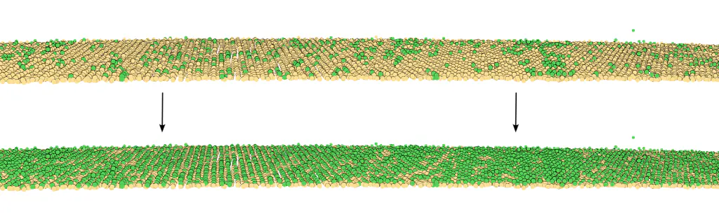
The Thin Ground AI model can be utilized to refine the ground classification from any AI model. The model lets you specify the output of the retaining Ground and filter other points.
Pick the right model for your data
Aerial Mapping AI model
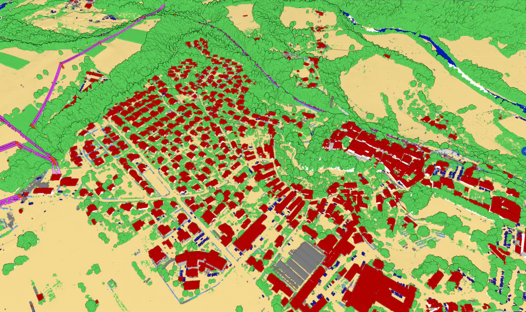
Aerial Mapping AI model classifies points automatically in the following categories: ground, vegetation, buildings, bridges, vehicles, powerline towers and wires, fences, other man made objects, low points, noise, and water.
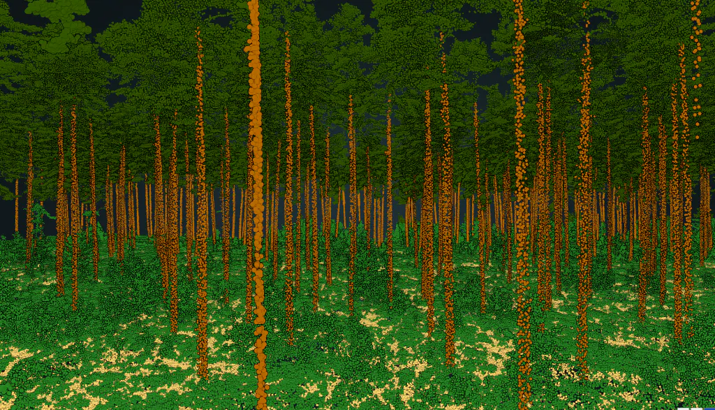
Forestry AI model
AI model trained on forestry LiDAR data with ground, understory, canopy, tree trunk, and fallen tree categories.
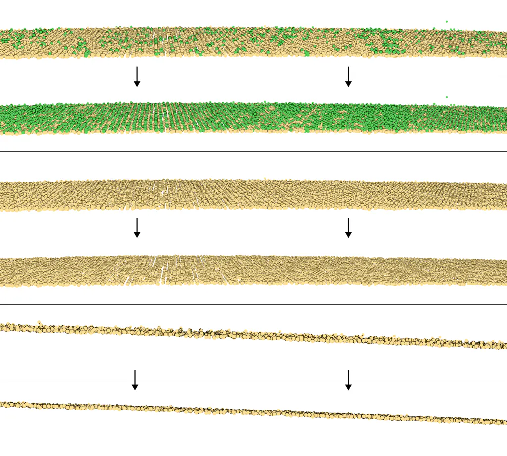
Thin Ground model
Thinning your ground from geospatial or forestry classifier.
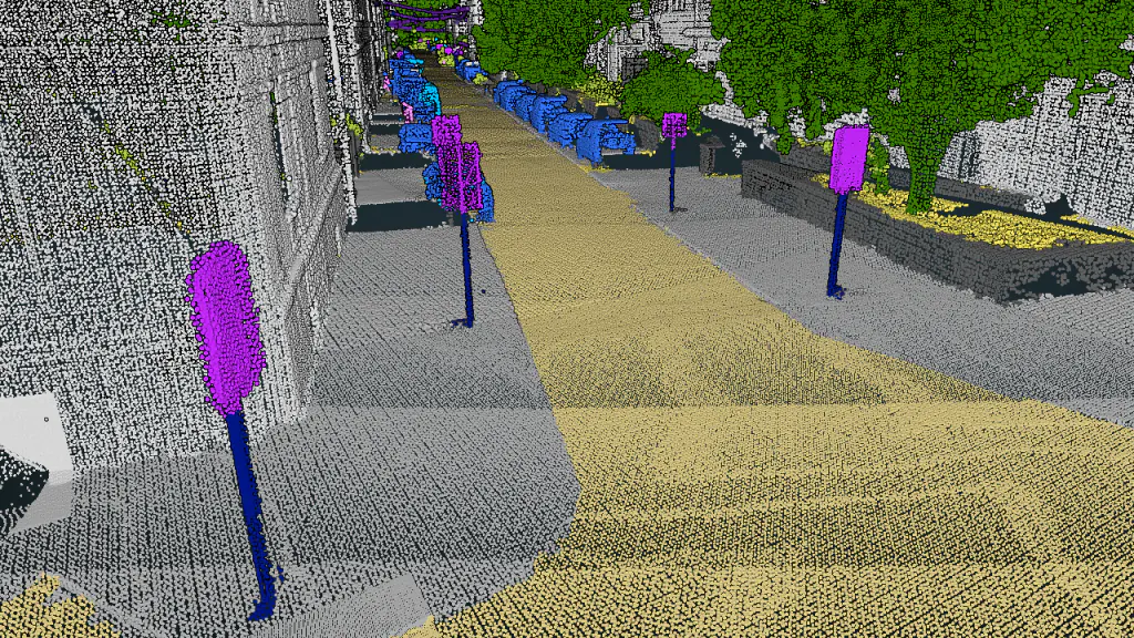
Mobile mapping AI model
Mobile Mapping AI model classifies Roads, Sidewalks, Other Ground, Traffic Islands, Buildings, Vegetation and Trees, Traffic lights and Traffic signs, Masts, Wires, Pedestrians, Mobile and Stationary Vehicles and Noise.
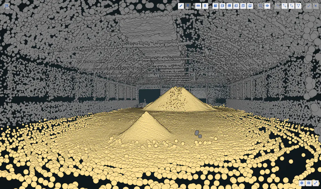
Indoor stockpile AI model
Classification of Stockpile with base ground, and Other (Walls, Roofs and other man made objects).
Classify your data with Flai
Try the platform free or talk to an engineer about a custom workflow.