Forestry
Efficiently conduct forestry inventory using LiDAR data for accurate results.
Proprietary forestry AI model
The starting point is a quality point cloud classification (semantic segmentation). For this task, Flai trained a proprietary AI model specifically for forestry applications. This model is available directly in the Flai web application and can be simply applied to imported point clouds.
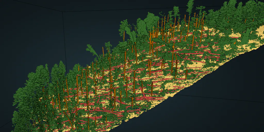
With machine learning on aerial LiDAR point clouds, the following classes are added to the forestry AI model:
- ✓Ground
- ✓Low understory
- ✓Medium understory
- ✓High understory
- ✓High vegetation and canopy
- ✓Tree trunk
- ✓Fallen trees
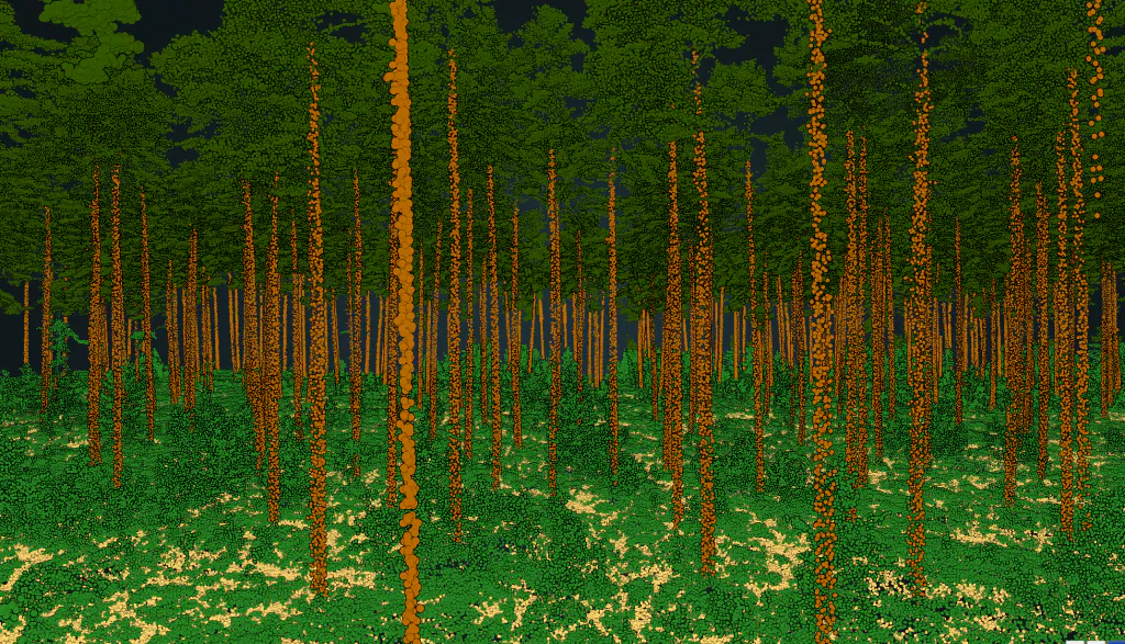
From classified point clouds to actionable data
With the correct level of data quality we can extract additional valuable vector outputs that find utility in a diverse range of applications:
- ✓Tree top detection
- ✓Trunk detection with fitted 3D lines
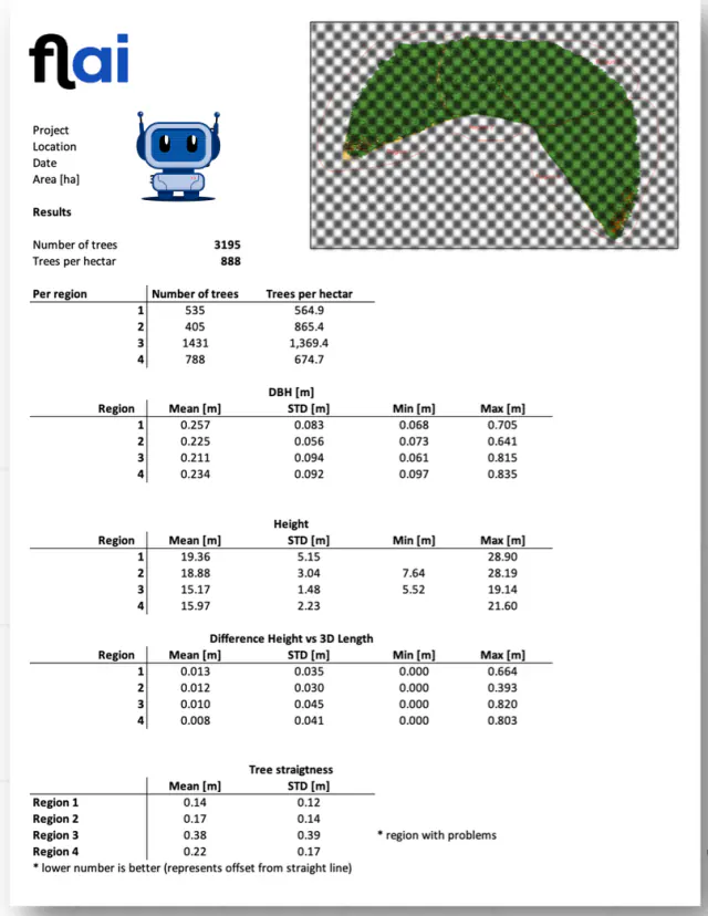
- ✓DBH (diameter at breast height) of tree trunks
- ✓Segmentation of canopies with tree height
The extracted features prove highly valuable in carbon trading, mapping, and the creation of detailed forest inventories.

"The team at Flai understood our needs and produced results with their forestry AI within a short time. They gave meaning to our airborne LiDAR point clouds and created added value for forest inventory and carbon trading applications."

Modernize your forest inventory
Leverage Flai's forestry AI on your own LiDAR data.