Solutions Engineer - Defence & Geospatial AI (m/f)
About the Role
We build with coding agents every day, so writing code is rarely our bottleneck. The hard parts are understanding the problem, deciding what to build and knowing whether it actually works. That is this job.
You'll own problems end to end. You'll sit with a customer, an operator or a hardware partner and work out what they actually need, which is often not what they asked for. Then you'll turn it into a clear plan, build the first working version yourself, take it into the field and bring back what you learned so the core team can turn it into product.
Some weeks you'll be on an exercise with a data collection team. Other weeks you'll write the technical half of a proposal, or dig into a processing pipeline to find out why the results look wrong. You'll work directly with the CTO and take over a large part of our technical customer work and use-case development, with a focus on defence.
Responsibilities
- Discover: run technical conversations with defence and civil customers, hardware partners and integrators. Find the real problem, the constraints and what "good" looks like.
- Define: turn messy needs into clear specs and acceptance criteria that our engineers can deliver without coming back to ask what you meant.
- Build: prototype end-to-end solutions: processing flows, AI model applications, sensor and partner integrations, data products and demos. You'll work in Python first, and anywhere else in the stack when needed.
- Deploy: take solutions into the field, including exercises, trials and customer environments, some of them offline or air-gapped.
- Validate: judge whether the output is actually right, both technically and operationally, and be honest when it is not.
- Feed back: turn field experience into product direction, and support proposals, tenders and technical sales with credible engineering.
Requirements
- A degree in Computer Science, Mathematics, Geodesy / Geomatics or Robotics. Physics, Remote Sensing or similar fields are also welcome.
- 5+ years shipping real things to real users.
- Experience working close to customers or the field, for example in solutions engineering, applied R&D, a startup, consulting, field robotics, surveying or military technical work.
- Strong Python. You can read and change code in a stack you didn't write.
- Fluent with coding agents (Claude Code, Cursor, Codex or similar), and you know where they go wrong.
- A clear writer. Your specs, emails and proposal sections need little editing.
- Comfortable with ambiguity. You don't wait for a perfect ticket; you write it.
- Credible in a room with an engineer, a procurement officer and a colonel, sometimes on the same day.
- Citizen of an EU member state.
- Willing to travel 20-30% of the time across Europe.
Nice to have
- Hands-on experience with 3D data: LiDAR, point clouds, photogrammetry, SLAM, or tools such as PDAL, GDAL, Open3D, CloudCompare or QGIS.
- Experience training or applying ML models on real-world sensor data.
- A defence, security or GEOINT background: military service, defence industry work, NATO exercises, or familiarity with C2 / COP systems and defence procurement.
- An existing or previous security clearance, or eligibility to obtain one.
- Experience integrating drones, sensors or other hardware.
- Founder or early-employee experience.
- Additional European languages.
What we offer
- Full-time employment with stimulating compensation.
- Hybrid work: we prefer a few days a week in our Ljubljana office. Fully remote within the EU is possible for the right candidate. Flexible hours.
- Your choice of hardware (Mac/PC) and the best AI tooling available.
- Real ownership: you'll shape what Flai builds for defence and how it's used in the field.
- Direct, daily work with the CTO and a senior team, with no layers in between.
- Field work with real operators and real sensors.
- Personal and career development.
About the Company
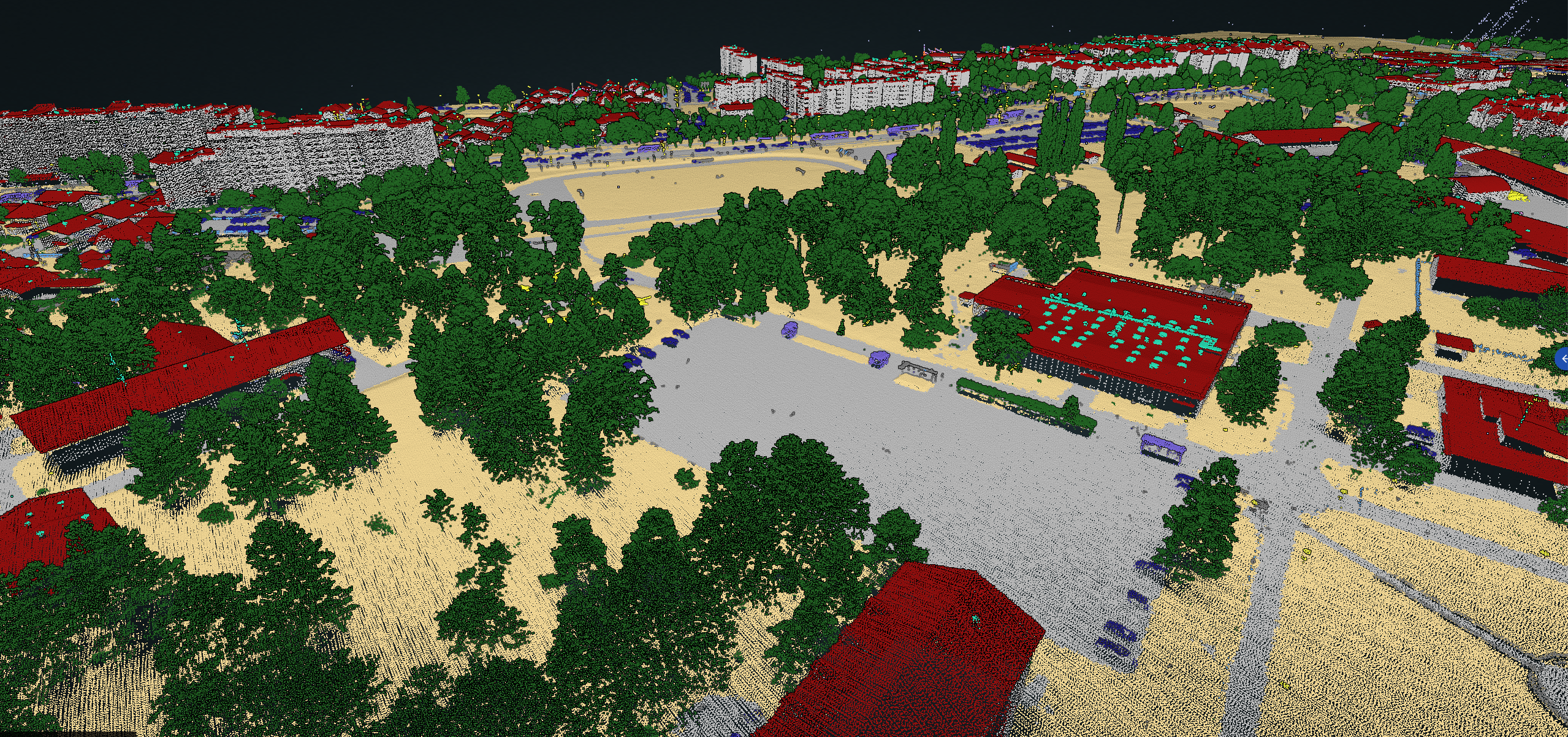
Flai is a geospatial AI scale-up on a mission to automate mapmaking from raw sensor data to high-quality, semantically rich 3D maps. We specialize in AI for large-scale 3D LiDAR point cloud analysis, serving national mapping agencies, utilities, infrastructure operators, engineering companies and defence organisations worldwide.
Our technology enables customers to turn massive geospatial datasets into actionable intelligence using AI-driven, scalable processing pipelines. It runs anywhere from the cloud to the air-gapped tactical edge, and our profitable commercial business funds our growing defence work.
To apply, send your CV to jobs@flai.ai with a short note about one problem you solved where the hard part was working out what the problem actually was. We read every note before the CV.
Not the right fit? Send us an open application →