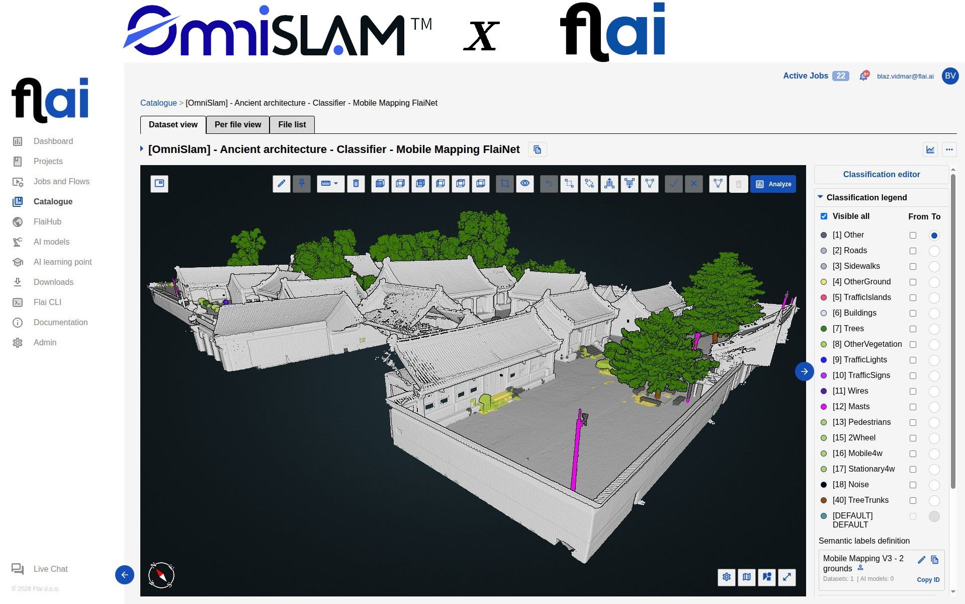
We have been working with OmniSLAM to validate how Flai handles their mobile mapping data, and the results are worth sharing.
OmniSLAM builds SLAM-based scanning systems used for complex urban and architectural surveys. Their data is dense and geometrically rich, which is exactly the kind of input the mobile mapping models are built for.
What we ran
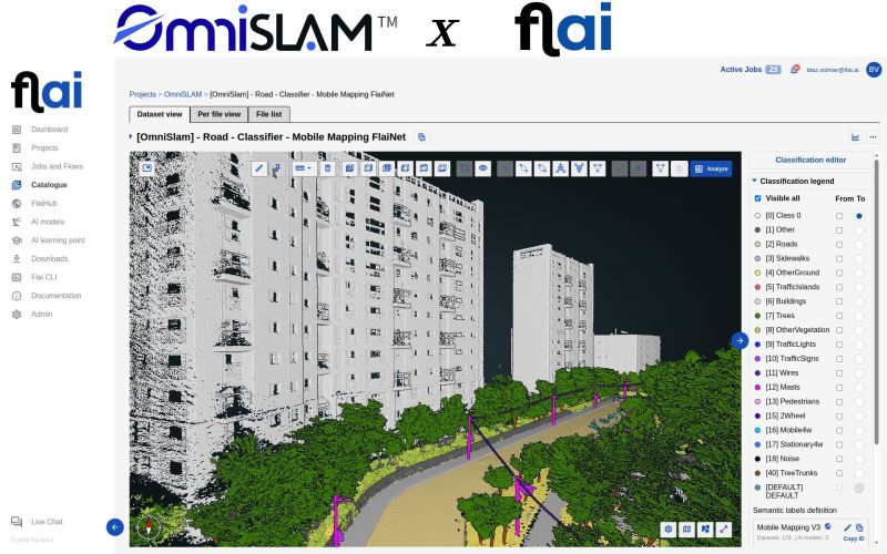
Their datasets went through the Flai Mobile Mapping classifier as it ships, with no dataset-specific fine-tuning. That produced clean semantic segmentation across more than 20 classes: buildings, trees and tree trunks, roads, sidewalks, other ground, traffic islands, traffic signs and lights, wires, masts, pedestrians, two-wheelers, moving and parked vehicles, and noise.
Separating moving from parked vehicles matters more than it sounds on mobile mapping data, because pedestrians and passing traffic are captured mid-drive and have to come out before anything downstream can use the scene.
Why no fine-tuning is the result
The interesting part is not the class list, it is that no training round was needed to get there. A pretrained model that holds up on an unfamiliar sensor means a team can put a new scanner into production and classify its output the same day, instead of assembling training data first and waiting on a model.
That is the property we care about across sensors and capture conditions, and OmniSLAM's data is a useful test of it: SLAM-based capture in dense urban and architectural scenes does not look like an airborne survey.
Next steps
We are looking forward to building on this together and bringing it to more mobile mapping workflows.
If you work with OmniSLAM hardware and want to see what automated classification looks like on your own data, get in touch.