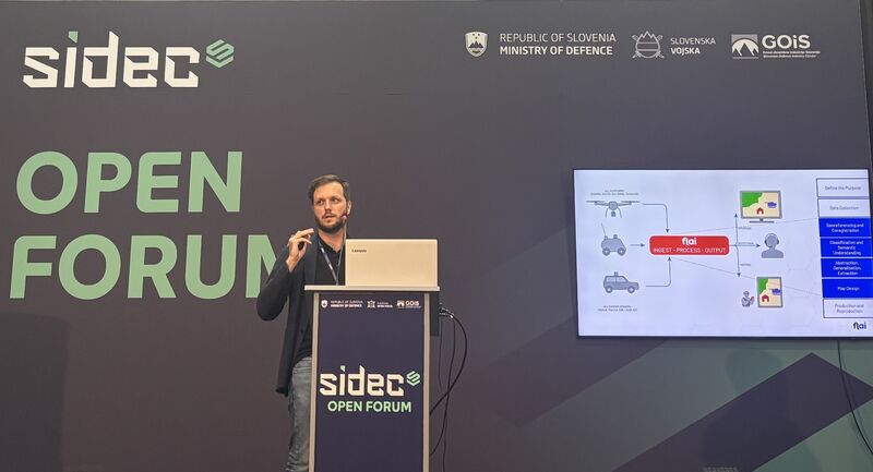
Flai presented at the Open Forum of SIDEC 2025, the first Slovenian International Defence Industry Exhibition and Conference, held at the Celje Fairgrounds from 21 to 24 October 2025. The event was organized by the Ministry of Defence of the Republic of Slovenia with the Slovenian Armed Forces and the Slovenian Defence Industry Cluster, and brought together more than 150 companies and organizations from 20 countries.
Our talk was about generating maps in near real time to support defense and security operations.
The path from sensor to map
The argument was structured around the steps a capture goes through before anyone can act on it: data collection from UAV or vehicle-mounted sensors, georeferencing and coregistration, classification and semantic understanding, then abstraction, generalization and feature extraction, and finally map design and production.
Most of those steps are well understood. The one that historically decides the timeline is classification, because it is where an analyst has to sit with the data. Automating it is what moves the whole chain from days to something closer to the tempo of an operation, and it is why we treat classification as the foundation rather than as a preprocessing detail.
The same models that run in civil production, on national mapping campaigns and utility corridors, do this work. What changes in a defense context is the time pressure and the constraint on where the data is allowed to go, which is why the processing runs on your own hardware or behind your firewall rather than in a cloud you do not control.
Thanks to the organizers for the invitation, and to everyone who came by to talk.