You can now upload Gaussian splats to the Flai web app and view them in the browser, in the same place you already keep your point clouds. No extra software or plugins are needed, and you can measure directly on the scene.
What is a Gaussian splat?
A Gaussian splat is a 3D scene built from ordinary photos or video. Instead of points or a mesh, it stores millions of small, soft, coloured "splats" (3D Gaussians) that blend together when rendered. The result looks close to a photograph, but you can orbit, zoom and walk through it like any 3D model.
Splats are quick to capture: a drone orbit or a walk around a site with a camera is often enough. That's why they've spread so fast across the industry. At InterGeo 2025, more than 20 vendors were showing them.
Splats and LiDAR do different jobs
A splat is very good at showing what a place looks like. It isn't a measurement. Its geometry is reconstructed from images, so it's plausible rather than surveyed, and it has no stated accuracy and no classification.
LiDAR is the opposite. It may look less impressive on screen, but every point is measured. When you need a clearance distance, a volume or a classified ground model, that's the data you trust.
So we see the two as complementary, not competing:
- Use the splat for visual context: showing a client the site, checking what an object is, presenting a project to non-technical stakeholders.
- Use the point cloud for the work: classification, measurement, DTMs, feature extraction and everything downstream.
Having both in one platform means you don't have to switch tools to go from "what is that?" to "how far is it from the line?".
What you can do today
- Upload a splat to your organisation, the same way you upload a dataset. Flai accepts the three most common splat formats, .ply, .splat and .spz, so scenes exported from the usual capture and training tools work as they are.
- View it in the browser in the Flai viewer, with orbit, pan and zoom.
- Measure on it with the same measuring tools you use on point clouds, for a quick check of a distance or size on a photoreal scene.
- Share it with your team. Everyone in your organisation can open the scene in the Flai viewer.
The main square in Trogir, Croatia, as a Gaussian splat in the Flai viewer, with a distance measurement. Scene: Main square in Trogir by tosolini, superspl.at, CC BY 4.0. The scene data is unmodified; this is a screen recording of it in the Flai viewer.
Where it helps
A few situations where we expect splats to be useful for our users:
- Project reviews. Keep a photoreal view of the site next to the classified LiDAR, so colleagues who don't read point clouds still understand the project.
- Inspection context. When a classified point cloud flags something (a tree near a conductor, an object on a roof), a splat of the same spot shows what it actually is.
- Site documentation. A quick photo-based capture of a site before and after work, stored next to the survey data.
Try it
Gaussian splat upload is live for all organisations on app.flai.ai. If you don't have an account yet, start a free trial and upload your first scene. If you have a project where splats and LiDAR would work together, get in touch. We'd like to hear how you're using them.
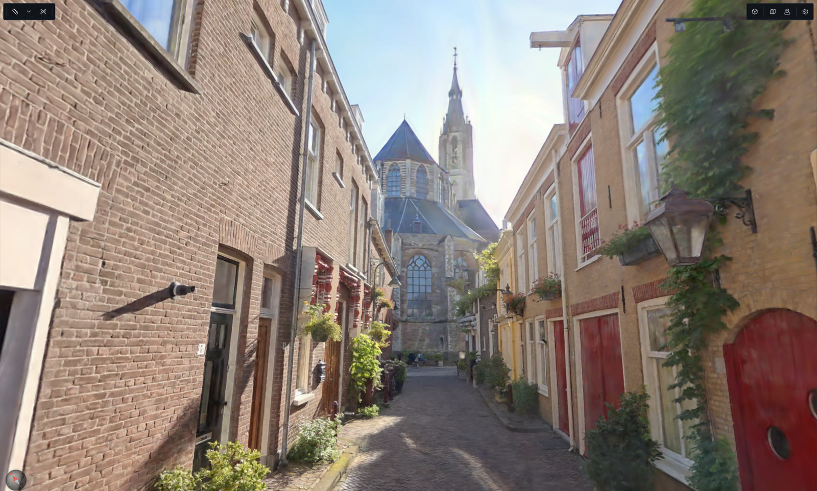
Cover image: Trompetstraat, Delft by roelof, superspl.at, CC BY-SA 4.0. The scene data is unmodified; the cover is a cropped screenshot of it in the Flai viewer, licensed CC BY-SA 4.0.