
Defence & public safety — Situational awareness
Terrain and typed objects for GEOINT, OCOKA and JIPOE workflows — deployable fully air-gapped.
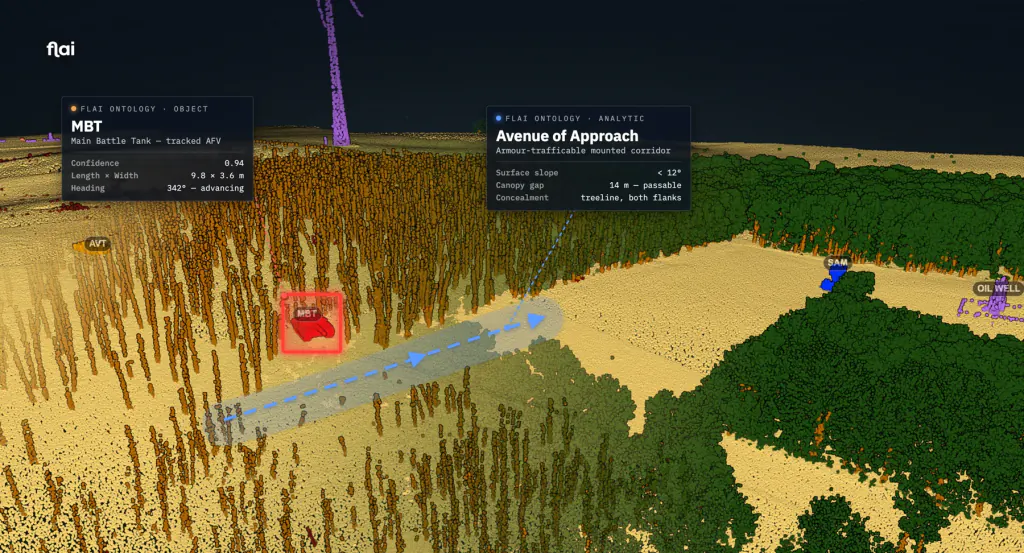
The same engine, for defence and public safety. It classifies terrain, vegetation and structures and the objects within a scene — vehicles, heavy plant, equipment and aircraft — turning a raw 3D capture into situational awareness: slope, cover, access and line of sight read straight from the cloud and output as typed, provenance-tagged objects for incident command and a common operating picture. Deployable fully air-gapped inside secure or restricted networks.
What it classifies.
Every point is assigned a typed class — then vectorised into objects your workflow consumes.
Representative class set & colours; classes are configured per deployment via sovereign, in-network retraining. A dedicated defence capability brochure is available separately.