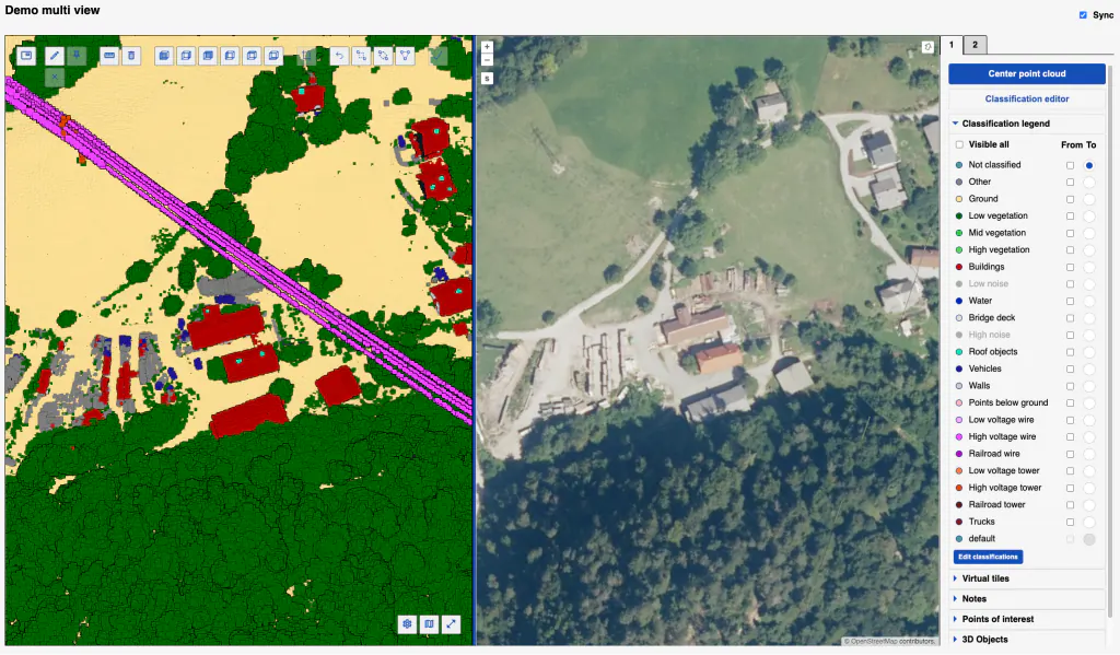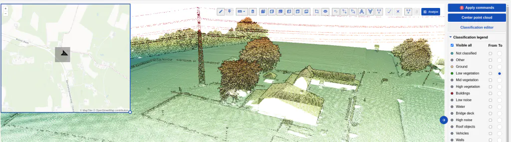
Adjust the display setting to get the best view
- ✓ Perspective or orthographic projection
- ✓ Point size
- ✓ Point budget
- ✓ Display by attribute (elevation, intensity, classification)
- ✓ Map view
- ✓ Fly (camera) mode
- ✓ Measurement tools
- ✓ Turn on/off desired categories
With Flai collaboration tools you can share the point cloud visualization with your end client.
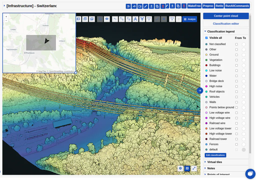
See the viewer in action
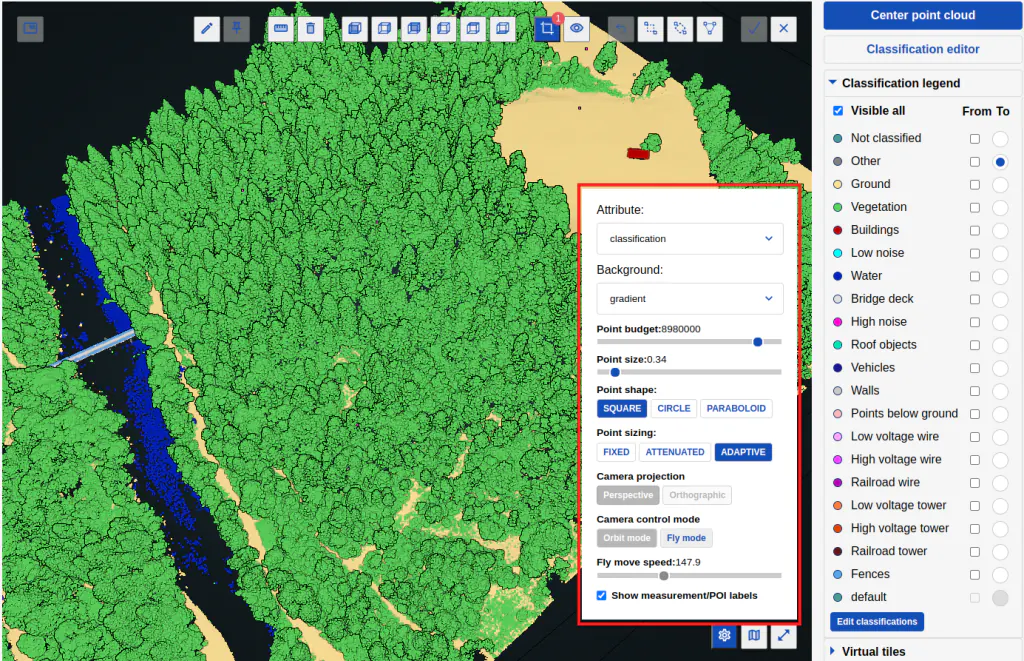
Display settings
You can customize various aspects, including adjusting the point budget, point size, point style (circle or square), selecting visualization attributes (classification, number of returns, RGB, etc.), and choosing the camera control mode (orbit or fly).
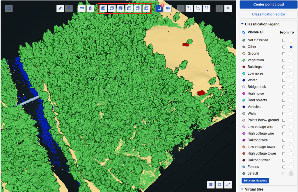
Predefined view
The following predefined views are available: front, right, back, left, top, and bottom view.
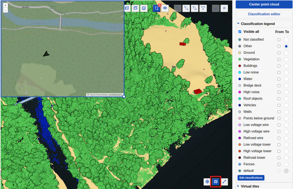
Map view
View your selected point cloud area simultaneously on the topographic base layer. You can also resize the map within the 3D Viewer window.
Layer visibility
Click on the class and toggle the visibility on and off.
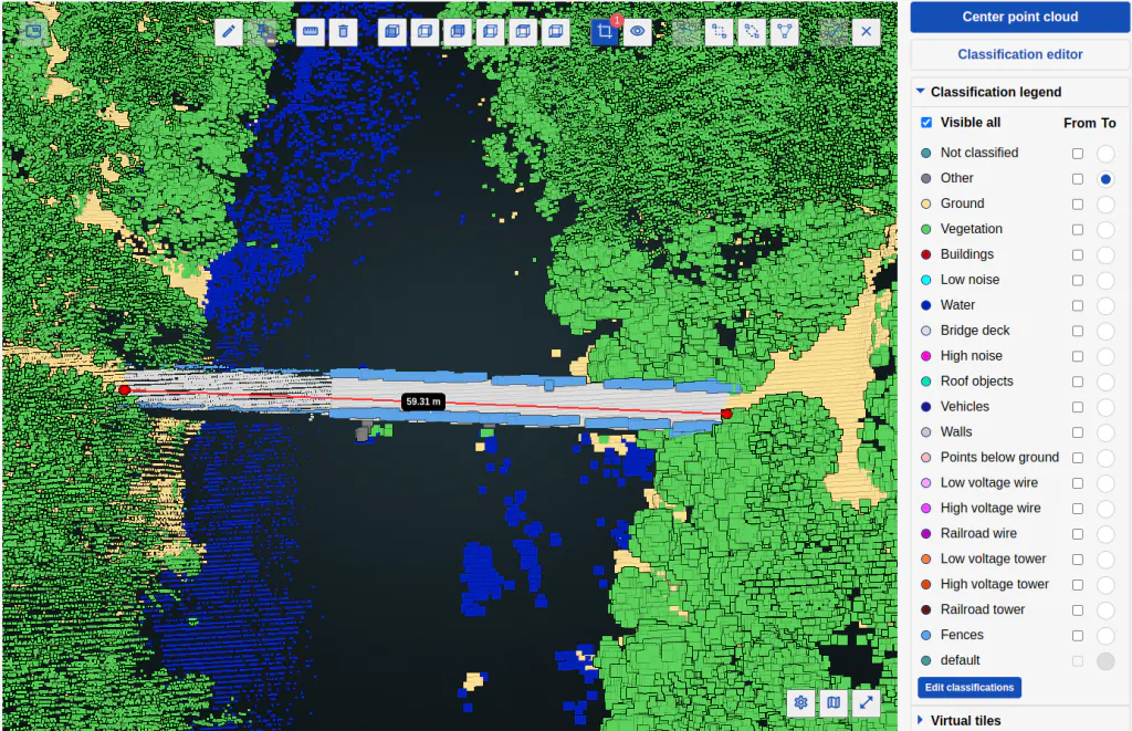
Measurement tools
With measurement tools, you can measure point coordinates, angles, distances, heights, and areas within a point cloud.