
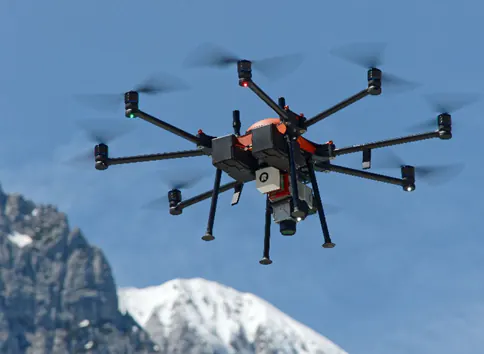
In this project, the goal was to get ground points of a densely vegetated rockface to analyze the rock structure. This task could only be done by using a high-density LiDAR point cloud as the LiDAR technology can penetrate through the vegetation and get enough ground points to describe the complex morphology of a rockface. To get a uniform point density across the steep and mountainous terrain, an Unmanned Aerial Vehicle (UAV) was used.
Location
Italian Dolomites
UAV
Soleon LasCO 1
Sensor
RIEGL miniVUX-3UAV with APX-20 IMU
Number / Duration of flight(s)
3 flights with a total duration of 45 min.
Number of points captured
369 million points
Area
53 hectares / 131 acres
Company presentation
The company Alto Drones is a professional service company based in the area of South Tyrol, Italy. The company specialises in aerial surveying and inspections. They have LiDAR and RGB systems mounted on an Unmanned Aerial Vehicle (UAV) or a helicopter. When acquiring data with the UAV, they cover areas up to 200 hectares.
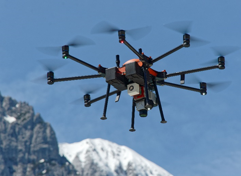
RIEGL miniVUX3, Soleon LasCO 1
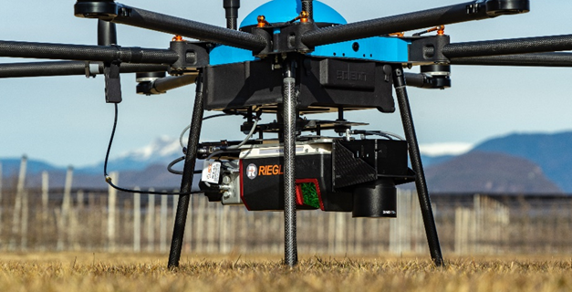
RIEGL VUX-120, Soleon LasCO 2
Automatic processing of point clouds
Preprocessing, georeferencing, and matching of raw point cloud was done directly in the RiPROCESS suite that comes together with the Riegl sensors.
Since the client was interested in the morphology of the rock face, the ground points had to be precisely extracted as a separate class. The current procedures for point cloud classification were not providing satisfactory results and a significant number of points had to be manually classified in order to get the final deliverable.
To speed up the process and reduce costs, Alto Drones decided to process the point cloud of a rock face with Flai’s algorithms. The dense point cloud was delivered to Flai in .las file format together with the list of required point cloud classes:
ground,
vegetation,
other.
As a starting point, the Flai team had a look at the data and processed it with a pretrained Artificial Intelligence (AI) model. This gave a starting point for the evaluation of the quality of the existing AI model and gave an estimation of how much additional training would be needed.
The pretrained model is ready-to-use for common LiDAR mapping applications suitable for the generation of 2.5D raster products, but due to overhangs, Alto Drones had to deliver the digital elevation model as a 3D terrain. To incorporate the client's specific needs and to additionally improve the performance of the AI model, we selected a few regions in the project for training. Since additional training can be done for any specific use case, Flai’s solution can be used in a variety of applications.
With the Flai AI model trained for this project, the ground points representing the rock face structure were clearly visible —something that couldn't be done with existing methods.
The results were reviewed directly on the Flai web application which has a fast online 3D viewer to visualise point clouds. The classified point cloud can also be exported in the. las/.laz file format and imported to other software as well.
The Alto Drone team was very satisfied with the results and was amazed by both the quality and the processing time.
Flai speeds up the time needed to deliver the results. It previously took us 2 weeks of manual classification to get satisfactory results. After using Flai’s AI algorithms for ground extraction we only needed 1 h to do minor adjustments before delivering the results. Thomas and Florian from Alto Drones
Click here to try out the Flai web application
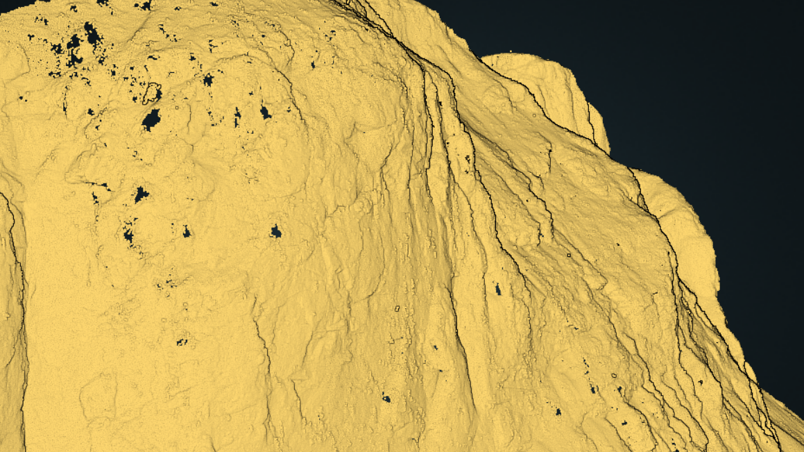
Automatic ground segmentation
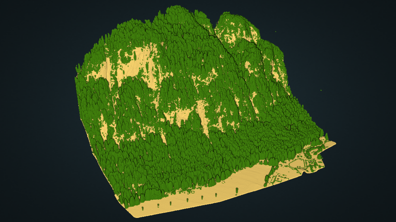
Ground and vegetation class
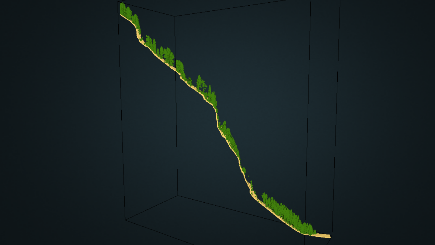
Side view of a rock face
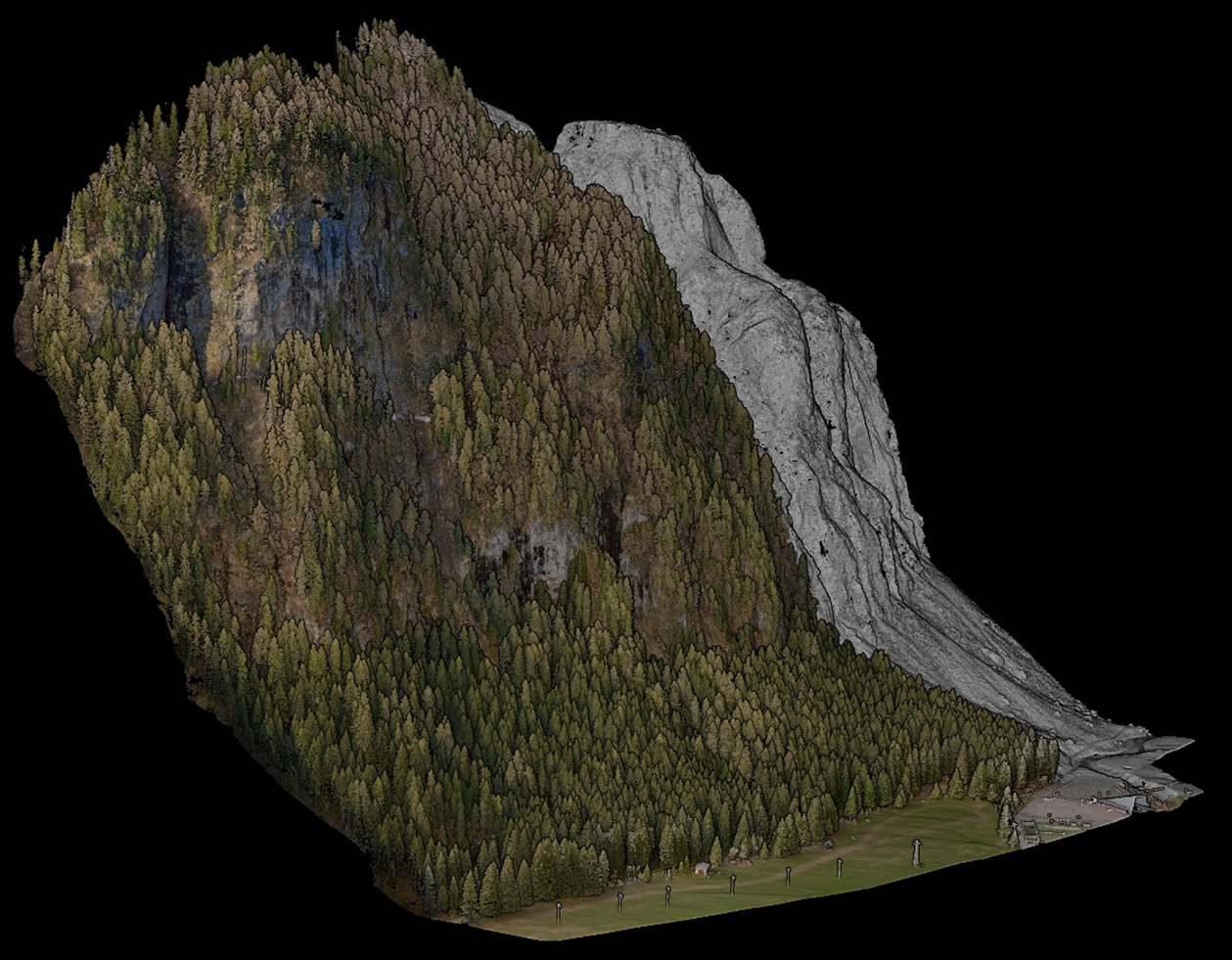
Colourised LiDAR point cloud