top of page


Blog
Explore Flai's recent innovations in automated LiDAR point cloud classification and processing through real-world use cases.
Learn how to navigate our website effectively with detailed guides for an optimized user experience
See Flai in action!


Power Grid Vegetation Analysis with LiDAR and AI
Challenge of Vegetation Management Near Power Lines ELES faced a significant challenge in monitoring and predicting vegetation growth...
Oct 14, 20243 min read


Top Advanced Tools Every Geospatial Consultant Needs
In today's rapidly evolving field of geospatial consulting, the importance of leveraging advanced tools cannot be overstated. Whether...
Aug 24, 20247 min read


How to grow a geospatial consultancy
We are capturing more data than ever before. Data is captured from various sources, including satellites, planes, drones, cars, boats,...
Aug 7, 20244 min read


Batch Processing on Flai web app
Alongside the classical use of the Flai web application, Flai enables faster processing of point cloud data through Batch Processing. The...
May 24, 20242 min read


Elevating Precision: Introducing Point Cloud Quality Control Service
In the ever-evolving landscape of 3D mapping and analysis, the integrity and accuracy of point cloud data are paramount. Recognizing the...
Mar 28, 20242 min read


Running Flai flows on your local machines
Among other deployment options, Flai supports running the automatic classification flows on your hardware, keeping all data private to...
Mar 19, 20243 min read


Classify point clouds through APIs
In this blog post, we will delve into how API integrations are transforming interactions with AI technologies in point cloud processing....
Feb 27, 20244 min read


Forest damage assessment from LiDAR point cloud using Artificial Intelligence
On Monday, July 24, wind gusts exceeding 200 km/h swept through the city of La Chaux-de-Fonds in northwestern Switzerland. The winds left...
Nov 24, 20233 min read


Automatically classify mobile mapping LiDAR datasets with ease
The need for regularly updated and accurate geospatial data has grown exponentially in the last decades. Mobile mapping LiDAR data serve...
Sep 25, 20232 min read

Online sharing of point clouds using Flai Web Application
In today's data-driven world, seamless collaboration and sharing of datasets are vital for efficient analysis and decision-making. Flai,...
Jul 2, 20232 min read


Interpret your data by combining multiple sources
Looking at objects in geospatial data taken from one angle or by only one particular sensor can be challenging, especially when handling...
Jun 16, 20233 min read


Enhance Your Workflow with Flai's Processing Flow Templates
Flai's web application offers over 36 raster and point cloud flow processing nodes, providing a comprehensive set of tools for your data...
May 26, 20232 min read
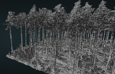
Using AI to improve forest inventory
Forestry inventory is a crucial aspect of sustainable forest management. It involves collecting data on the characteristics of a forest,...
Apr 12, 20233 min read


Leverage AI for automated point cloud processing
Software as a Service for streamlining point cloud processing workflows The creation of an accurately classified point cloud usually...
Mar 15, 20236 min read


Creating rasters from point clouds with Flai web app
Creating fully annotated point clouds is usually only the first step to producing a product that can be used and understood by a wider...
Jan 16, 20235 min read


Using LiDAR point clouds in precision forestry applications
LiDAR proved to be a suitable technology for forestry applications as it can penetrate the canopy and accurately detect tree structure...
Jan 12, 20233 min read


Scheduled maintenance - 29.12.2022
We wanted to let you know that Flai web application will be down for scheduled maintenance, starting on 29.12.2022 at 03:00 (CET) and...
Dec 28, 20221 min read

Introducing Flai Web App: Automatic point cloud classification platform powered by AI
We are excited to announce the launch of our Flai Web App , a platform that automates point cloud classification using advanced AI...
Oct 27, 20224 min read


Automatic extraction of ground points of a rockface using Artificial Intelligence
In this project, the goal was to get ground points of a densely vegetated rockface to analyze the rock structure. This task could only be...
Sep 23, 20223 min read

How to use annotation tools in Flai web application
Point cloud datasets produced by 3D laser scanning or photogrammetry gain a lot of value if they are accurately classified. While AI...
May 18, 20222 min read
Events
Events
bottom of page